What is recorded here
The castle of Tullagh had been lost to Irish rebels by Martin Lyle by 1596 (Cronin 1980, 117). A castle at Tullagh is not marked on the Strafford map of c. 1636, unless it is the castle also interpreted as now in Liberty townland (RO054-019----). The bishop of Meath owned 62 profitable acres at Tullogh in 1641 and the 1660s, but there is no mention of a castle or any other landowner (Simington 1949, 62). It is situated on a gently undulating landscape. This was a rectangular house (dims 17.6m N-S; 9m E-W) of two storeys and four bays with circular towers (ext. diam. 4m) that had gun-loops at the NW and SW angles and chimneys, each with two diamond-shaped stacks, in the N and S gables (Craig 1982, 131; Salter 1993, 45). The house was removed in the early 1990s after storm damage. Archaeological testing (07E1095) on the location produced no evidence of it (Wilkinson 2010).
Compiled by: Michael Moore
Date of upload: 24 August 2010
The monument record does not grant public access. Check the route and ask the landowner before entering private land.
- What survives
- Recorded monument
Places near here
 Tully CastleArchaeological place · 82 yd
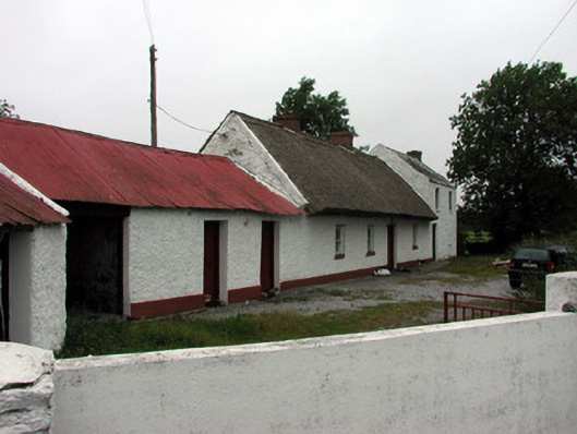 farm housefarm house · 565 yd
 Tonvee CastleCastle, unclassified · 701 yd
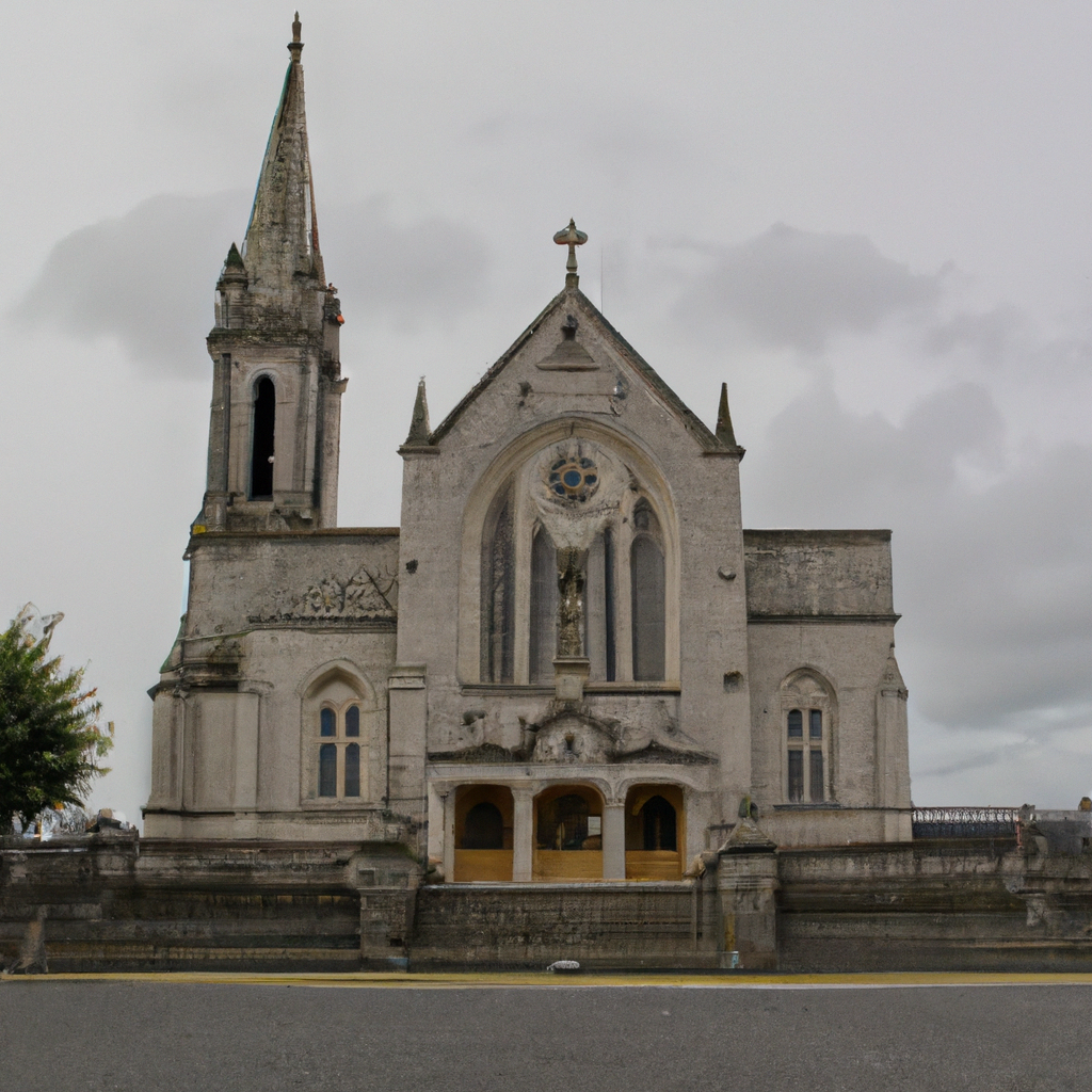 Church (in Ruins)Church · 947 yd
 Embanked enclosureFairy fort / earthen ringfort · 1686 yd
 IndicatedFairy fort / stone ringfort · 1.2 mi
 Split HillMountain / peak · 2.1 mi
 Devenish IslandIsland · 3.1 mi
 Long IslandIsland · 3.4 mi
 Sugarloaf HillMountain / peak · 3.6 mi
 Shannonbridge - Nearby AttractionsVisitor information · 3.8 mi
 HawthornHawthorn · 4.0 mi