
What is recorded here
To E of Butlerstown river, c. 1.2km N of Riverstown. Remains of mill structure (long axis NE-SW; L 5.2m), SE end replaced by long (int. L 15.5m) mid/late 19th century addition. Wheel pit (Wth 2.5m) along NW wall which housed a low breastshot or poncelot wheel.
The above description is derived from the published 'Archaeological Inventory of County Cork. Volume 2: East and South Cork' (Dublin: Stationery Office, 1994). In certain instances the entries have been revised and updated in the light of recent research.
Date of upload/revision: 14 January 2009
The monument record does not grant public access. Check the route and ask the landowner before entering private land.
- What survives
- Recorded monument
Places near here
 Sweathouse in Hermitage (barrymore By.)Sweathouse · 407 yd
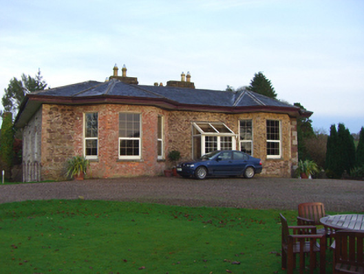 The Hermitagehouse · 492 yd
 KilnKiln, lime · 570 yd
 Old Court (Site of)Castle, unclassified · 1615 yd
 Site of Grave YardBurial ground · 1633 yd
 Sarsfields Court (in Ruins)Castle, unclassified · 1.0 mi
 Carberrytown WoodWood · 1.4 mi
 Glanmire Heritage SocietyMemorial · 1.7 mi
 Cork WalksVisitor information · 2.4 mi
 Gleeson MemorialMemorial · 2.4 mi
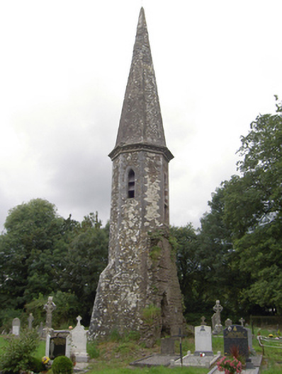 church/chapelchurch/chapel · 598 yd
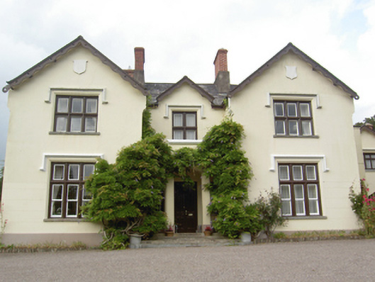 Kilroan Househouse · 606 yd
Other information
Photo: Credit not shown in the picture search · Rights wording not checked; contact us if this picture should be removed