What is recorded here
In wooded valley, on W bank of Finnihy River c. 2km NNW of Kenmare town. A rectangular two-storey structure, with the front (SE-facing) of five bays, appears to be the mill structure indicated on the 1846 and 1895 OS 6-inch maps. It is constructed of random rubble with dressed quoins; some of the quoins on the SW…
Read the whole record
From the National Monuments Service (Archaeological Survey of Ireland) record KE093-114
Places near here
Photo credits
- Maker not stated on source page, www.wildernessireland.com
- Maker not stated on source page, www.pinterest.com
- Espresso Addict, Wikimedia Commons · CC BY-SA 2.0
- Maker not stated on source page, www.boboandchichi.com
- National Inventory of Architectural Heritage
- Maker not stated on source page, www.flickr.com
- Vadim Manuylov, Wikimedia Commons · CC BY-SA 3.0
- P L Chadwick, Geograph · CC BY-SA 2.0
- Golfing in Ireland; photographer not stated, Source publisher
- Maker not stated on source page, uk.pinterest.com
- Kenmare Shamrocks GAA official club website; individual aerial photographer not named, kenmaregaa.ie
- Maker not stated on source page, www.tripadvisor.ru
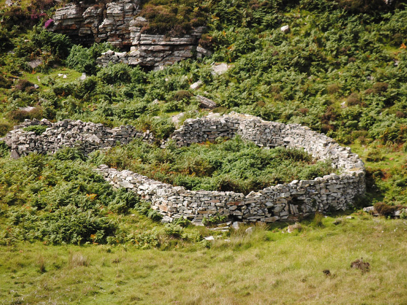 Fairy fort / earthen ringfort in GortamullinFairy fort / earthen ringfort · 257 yd
Explorer Tom Fairy fort / earthen ringfort in Gortamullin has a tunnel too, which the rabbits probably use as their main highway.…
 Fairy fort / earthen ringfort in DromneavaneFairy fort / earthen ringfort · 689 yd
Explorer Tom Fairy fort / earthern ringfort in Dromneavane overlooks Kenmare Bay but hates having its picture taken. Its least…
 StrickeenMountain / peak · 1339 yd
Explorer Tom Strickeen was saved by a hero no one remembers because he died of embarrassment from all the wind blowing his hair…
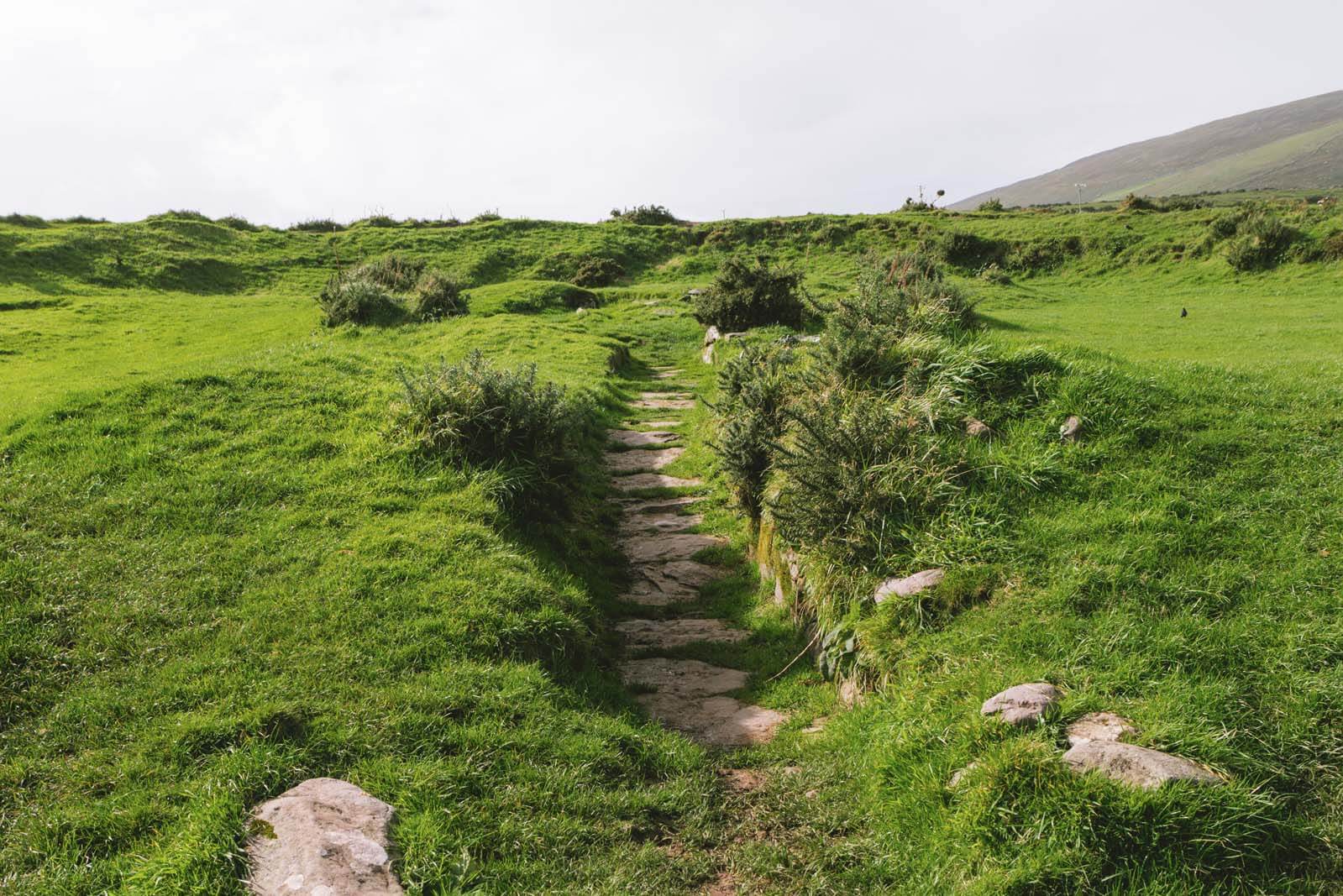 Fairy fort / earthen ringfort in Lissyclearig Lower,lissyclearig UpperFairy fort / earthen ringfort · 1387 yd
Explorer Tom Fairy fort / earthen ringfort in Lissyclearig Lower, Lissyclearig Upper is planning a retirement by turning into a very…
 Poor Clare's ConventConvent/nunnery · 1.1 mi
Explorer Tom Poor Clare's Convent would absolutely win a county fair with that Gothic spirelet and stepped buttresses. It’s been…
 Finnihy BridgeBridge · 1.1 mi
Explorer Tom Finnihy Bridge has been feuding with the next village over something daft, probably about whose side of the river is…
 Monterey Cypress1.2 mi
Explorer Tom This Monterey Cypress in County Kerry confused the map makers so badly they gave up and drew a circle. It’s definitely…
 The Lodge WoodWood · 1.2 mi
Explorer Tom The Lodge Wood in County Kerry is refusing to fall down despite looking like it’s one strong breeze away from total…
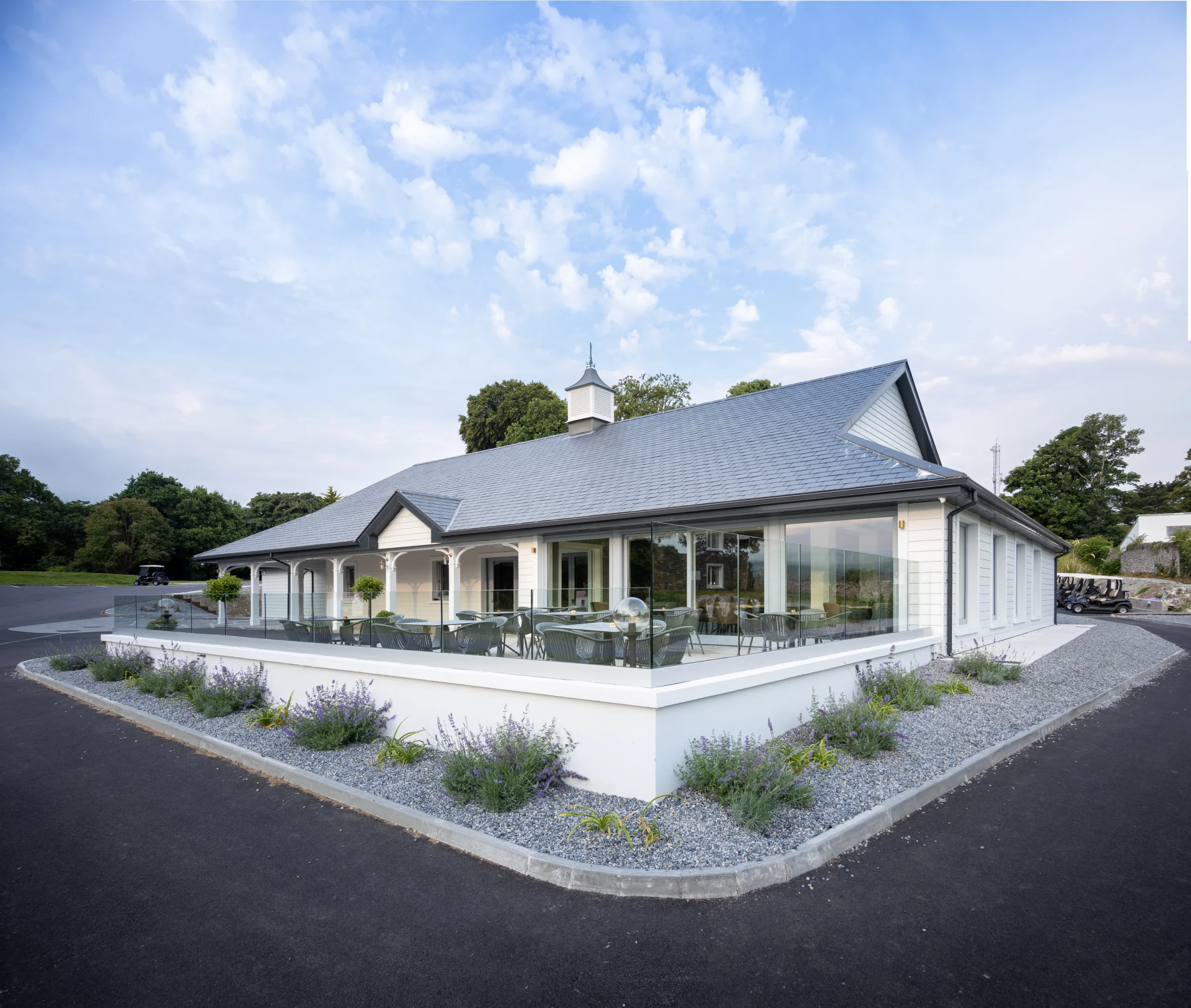 Kenmare Golf ClubGolf course · 1.4 mi
 Castle (in Ruins)Castle, tower house · 1.5 mi
Explorer Tom Castle in Dunkerron was home to the O'Sullivan Mores, but now it’s officially gone or destroyed. You can take a…
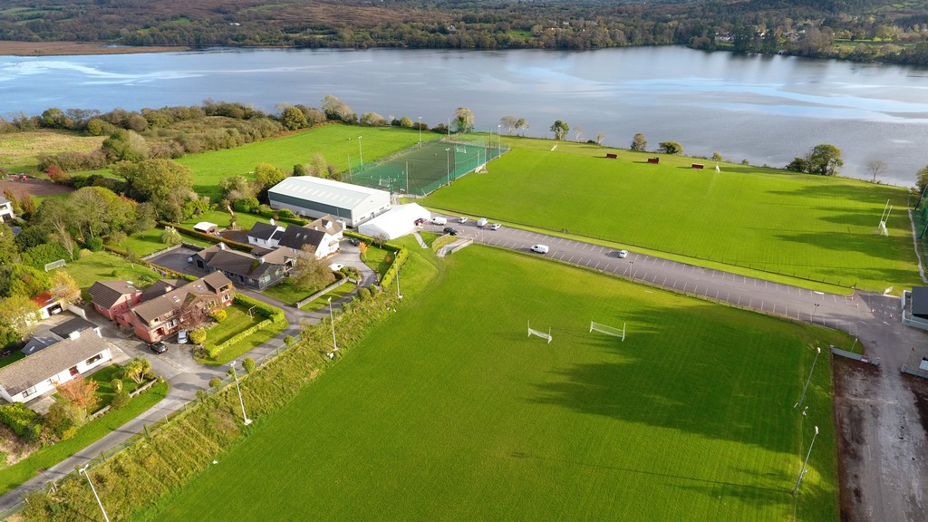 Kenmare Shamrocks GAA pitchGAA ground · 1.6 mi
 Old Kenmare CemeteryCemetery · 2.0 mi
Explorer Tom Old Kenmare Cemetery would win the county fair by entering its oldest headstone in the 'Most Weathered Object'…
More historic places in County Kerry · All of County Kerry

What do you know about this place?Tap to add a comment or ask a question