What is recorded here
Listed as 'Watermill - site' in the RMP (1996). Indicated and named 'Tuck Mill' on the 1842 ed. of the OS 6-inch map, and situated on the S-N Millbrooks River which is a tributary of the River Fergus. A mill is marked on the Barony map of Bunratty. There are no visible remains at ground level and it is unclear if this is the location of the mill marked on the Barony map.
Compiled by: Mary Tunney
Date of upload: 11 July 2016
This remains an important historical record, but the official description says the monument is no longer visible or has been destroyed. The monument record does not grant public access. Check the route and ask the landowner before entering private land.
- What survives
- No visible remains or recorded as destroyed
Places near here
 Enclosure in BearnafunshinEnclosure · 382 yd
 Abbey (in ruins)Religious house, Augustinian canons · 797 yd
 Enclosure in Ballyline (bunratty Upper By.)Enclosure · 870 yd
 Castle (in ruins)Castle, unclassified · 1357 yd
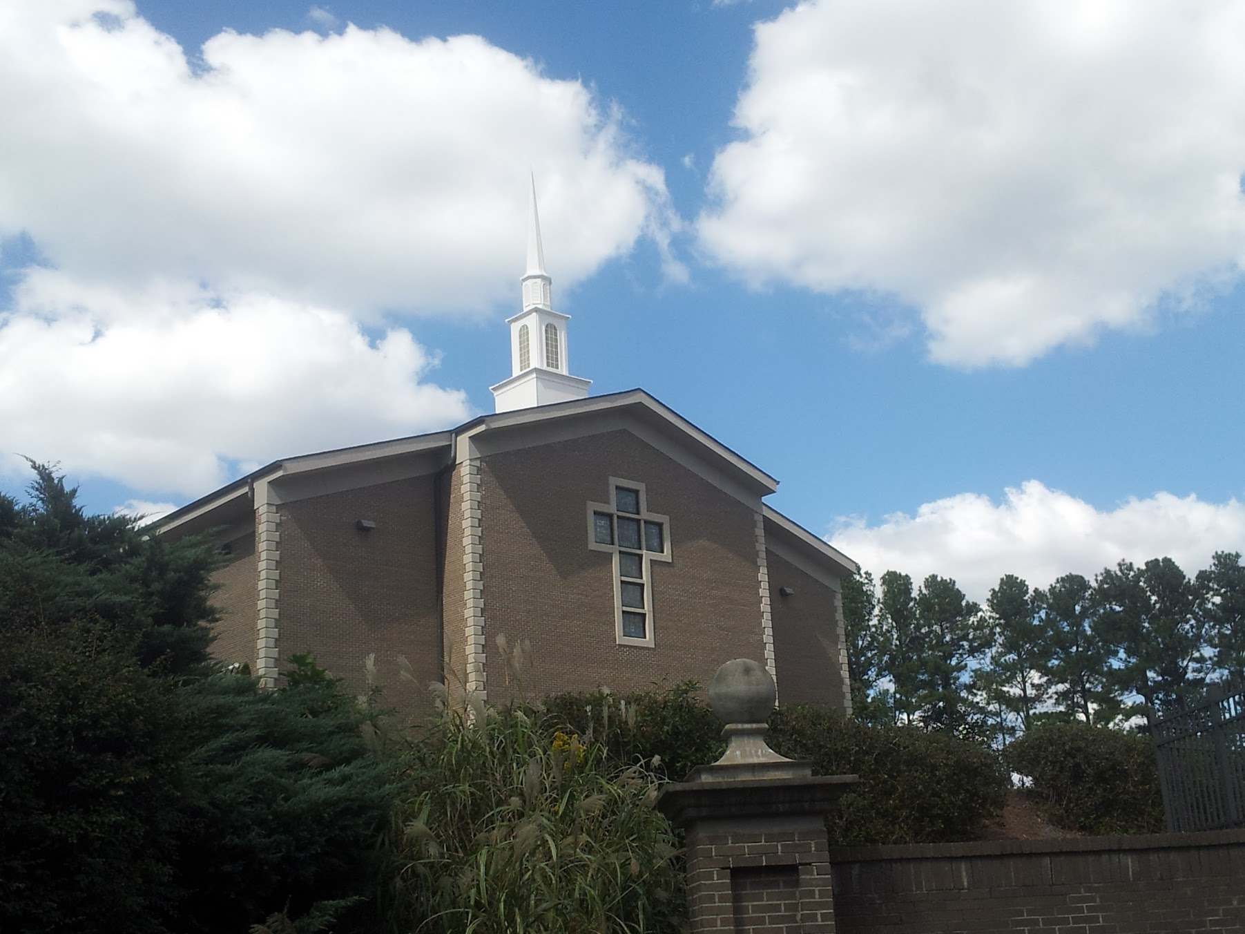 Church in KillianChurch · 1.3 mi
 Mulkere MemorialMemorial · 1.5 mi
 Dromore WoodWood · 1.9 mi
 CastleCastle, ringwork · 2.0 mi
 Derrymore WoodWood · 2.4 mi
 Battle of TullyodeaBattlefield · 4.1 mi
 Rock IslandIsland · 7.2 mi
 Inchiquin IslandIslet · 7.3 mi