
What is recorded here
Situated in Carthy's Wood in a scrub-covered area of quarrying and hachured as a circular enclosure (diam. c. 50m) on the 1842 ed. of the OS 6-inch map. It is not visible at ground level.
Compiled by: Michael Moore
Date of upload: 2 May 2017
The monument record does not grant public access. Check the route and ask the landowner before entering private land.
- What survives
- Recorded monument
Places near here
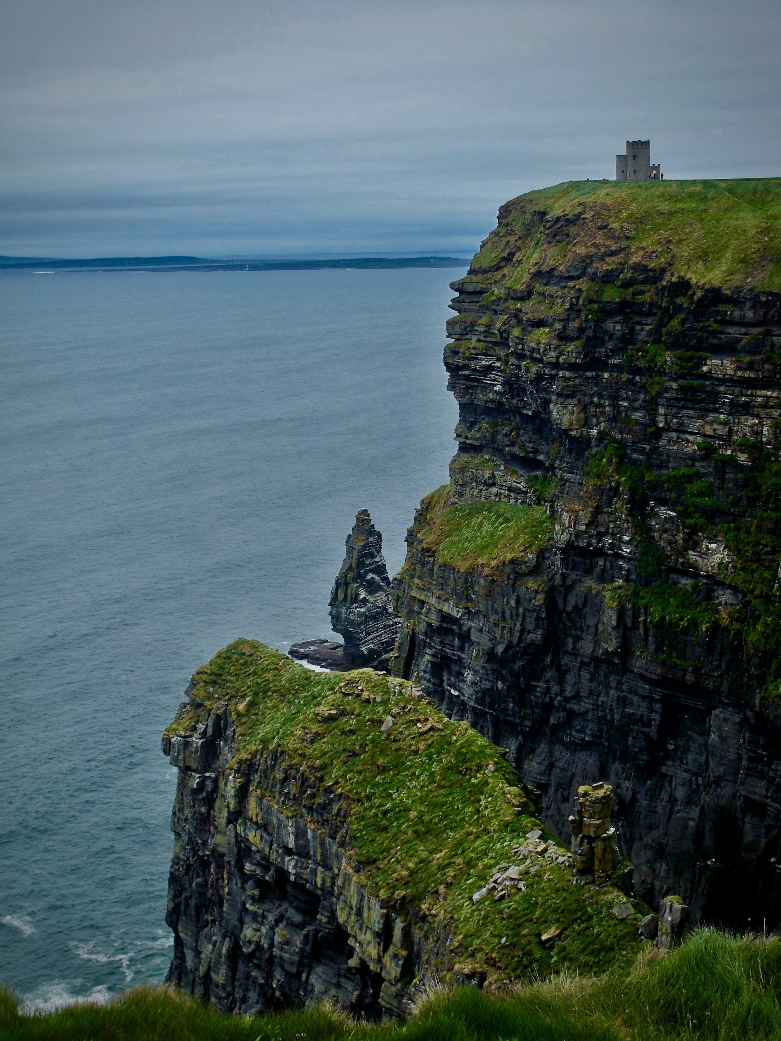 IndicatedEnclosure · 557 yd
 Enclosure in BearnafunshinEnclosure · 1250 yd
 Castle (in ruins)Castle, unclassified · 1467 yd
 Abbey (in ruins)Religious house, Augustinian canons · 1588 yd
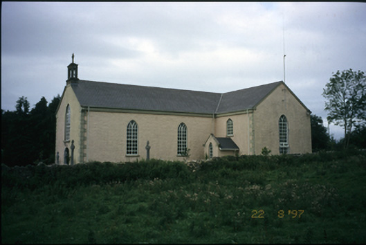 Saint Cronan's Catholic Churchchurch/chapel · 1.1 mi
 Mulkere MemorialMemorial · 1.3 mi
 Dromore CastleCastle · 1.7 mi
 Dromore WoodWood · 1.9 mi
 Derrymore WoodWood · 2.8 mi
 Battle of TullyodeaBattlefield · 3.8 mi
 Burren National ParkVisitor information · 6.8 mi
 Rock IslandIsland · 6.9 mi
Other information
Photo: Credit not shown in the picture search · Rights wording not checked; contact us if this picture should be removed