
What is recorded here
Half-hidden beneath grass and time, a forty-metre ring of earth still marks the summit of Tuam Island, its bank and hedge preserving the shape of a place people once drew a boundary around. It appeared on the first Ordnance Survey maps of 1835 and again in 1908, proof that the island was not new nor nameless but recognised enough to be recorded twice across generations. Whether for defence, farm or ceremony, someone shaped that circle deliberately; the grass has only softened the edge of their decision.
Tuam Island is recorded as a islet in County Cavan. Its open map record supplies this location and any linked names or public references.
Tuam Island is a small islet located in Lough Oughter, County Cavan, historically associated with early Christian monastic settlements in the region. It is notable for its connection to the ancient monastic site of Inis Caoimh, which dates back to the 6th century and was linked to Saint Caomh, a local patron saint.
Places near here
 IndicatedEnclosure · 25 yd
 ENCLOSUREENCLOSURE, sheepfold? · 721 yd
 Rosscorkey IslandIsland · 867 yd
 Kilrooscagh IslandIslet · 977 yd
 Church (in ruins)Church · 1.1 mi
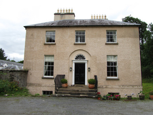 Killinagh Houserectory/glebe/vicarage/curate's house · 1.1 mi
 Port IslandCastle, Anglo-Norman masonry castle · 1.1 mi
 Giant's GraveArchaeological place · 1.1 mi
 Teampull RuisínHeritage attraction · 1.6 mi
 Saint Patrick's Holy WellSpring · 1.6 mi
 Lough MacNean WalkWalking route · 1.8 mi
 BarranMountain / peak · 2.4 mi
Other information
Photo: Credit not shown in the picture search · Rights wording not checked; contact us if this picture should be removed