
What is recorded here
On top of low natural rise in undulating countryside. Marked on the map as 'Trooper's Mount' this is the site of a poorly preserved earthen mound which has been partially destroyed by modern road which intersects the N side of the site. Flat topped mound (diam 9m N-S; ext. H 3m max. at S) with evidence of an inner fosse (Wth 5m) and external bank at W only. Bank and fosse may be a modern field boundary and not associated with the mound. However poor state of site preservation makes it difficult to be certain. Not marked on first two editions of 6-inch map and may have been formed during the construction of the nearby road. Depicted on 1912 edition of 6-inch map as a landscape feature.
The above description is derived from the published 'Archaeological Inventory of County Offaly' (Dublin: Stationery Office, 1997). In certain instances the entries have been revised and updated in the light of recent research.
Date of upload: 23 May 2011
A Bronze Age cairn or barrow, partially destroyed; its significance is limited to the local archaeological record due to poor preservation.
The monument record does not grant public access. Check the route and ask the landowner before entering private land.
- What survives
- Recorded monument
Places near here
 Structure in MoyallyStructure · 621 yd
 Moyally Castle (in Ruins)Bawn · 785 yd
 Enclosure in ToberEnclosure · 1134 yd
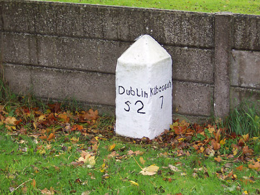 milestone/milepostmilestone/milepost · 1381 yd
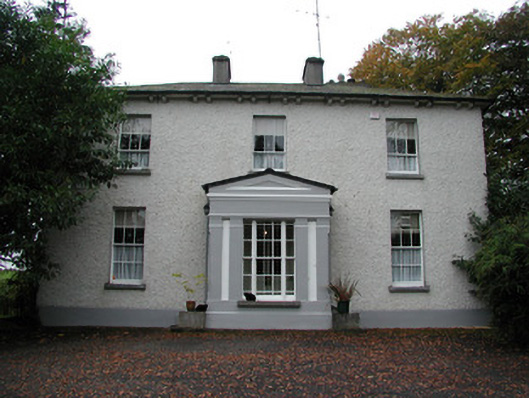 Spring Lawnhouse · 1.0 mi
 Bawn in Cartronkeel (clonlonan By.)Bawn · 1.2 mi
 Moate HillMountain / peak · 1.3 mi
 Charles BianconiMemorial · 1.5 mi
 The Bob Traynor GalleryGallery · 1.6 mi
 Roughan HillMountain / peak · 2.1 mi
 Dún na Sí Heritage CentreMuseum · 2.2 mi
 ToberaskeenSpring · 2.5 mi
Other information
Photo: Credit not shown in the picture search · Rights wording not checked; contact us if this picture should be removed