
What is recorded here
Located 270m to SE of an ecclesiastical enclosure/cashel (SL001-001001-), over cliffs.
This is a National Monument (no. 117) in state ownership. Drystone rubble walls form an enclosure which measures 4.5 m east/west by 3.5 m north/south within walls up to 1 m thick and 1.4 m high on the south or seaward slope, but 0.8 m high elsewhere. The walls include frequent small flat slabs and are roughly coursed to produce a sound build with a fair-faced finish. There is a narrow entrance on the west side (facing Treenode Beg leacht (SL001-014001-) 0.7 m wide; this is spanned by an edge-set sill at the inner wall face.
There is a leacht (SL001-013003-), known as Treenode More, and cross slab (SL001-013002-) within this enclosure. Another leacht (SL001-014001-) is located outside the enclosure, a few meters to W.
The above description is derived from the results of a survey of the archaeological monuments on Inishmurray undertaken in 1997-1999 and published in:
Jerry O’Sullivan and Tomás Ó Carragáin 2008 Inishmurrary. Monks and pilgrims in an Atlantic landscape. Volume 1: Archaeological Survey and Excavations 1997-2000. Cork. The Collins Press.
Date of upload: 19 February 2018
The monument record does not grant public access. Check the route and ask the landowner before entering private land.
- What survives
- Recorded monument
Places near here
 TobernasoolHoly well · 59 yd
 Teampull Mhuire or Teampull-na-mbanChurch · 237 yd
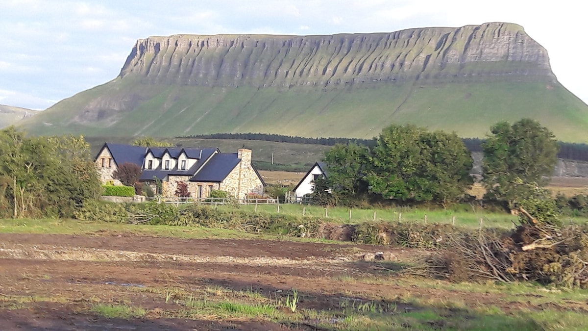 Laghta ColumbkilleLeacht · 253 yd
 Teampull Molaise, TeampullnabarChurch · 325 yd
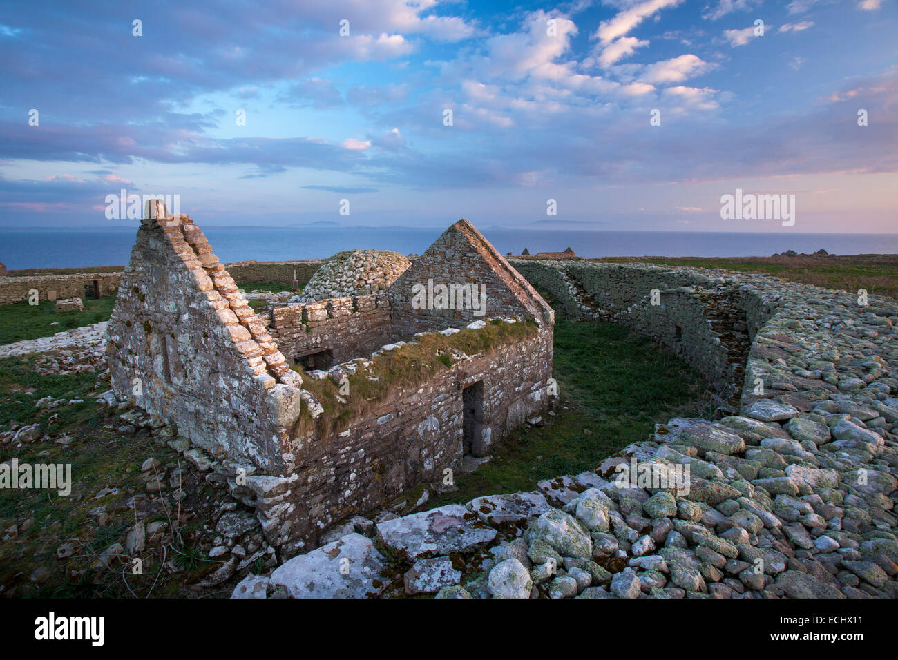 Inishmurray Island Monastic SiteHeritage attraction · 328 yd
 InishmurrayIsland · 472 yd
 Streedagh BeachVisitor information · 4.1 mi
 de Cuellar Armada MonumentMemorial · 4.2 mi
 InishnagorIslet · 5.2 mi
 Bawn in DoonforeBawn · 5.6 mi
 Knocklane CastleRuins · 5.8 mi
 Upperglen WoodForest · 5.9 mi
Other information
Photo: Credit not shown in the picture search · Rights wording not checked; contact us if this picture should be removed