What is recorded here
The official Northern Ireland record identifies this as TREE RING: ASCAL. Recorded period: MODERN. The official map point was placed at the centre of the recorded archaeological site from the source map reference.
The monument record does not grant public access. Check the route and ask the landowner before entering private land.
- What survives
- Recorded monument
Places near here
 Inishbeg HillMountain / peak · 501 yd
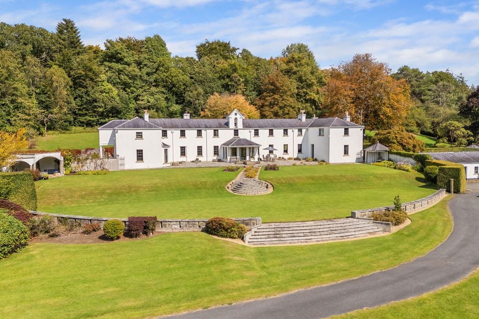 HOLY WELL: TOBERSHANNY in CloonacarnHOLY WELL: TOBERSHANNY · 795 yd
 Temple Will WoodWood · 847 yd
 ENCLOSURE: FORT HILL in BelleisleENCLOSURE: FORT HILL · 1045 yd
 Badge WoodWood · 1136 yd
 Belle IsleIsland · 1162 yd
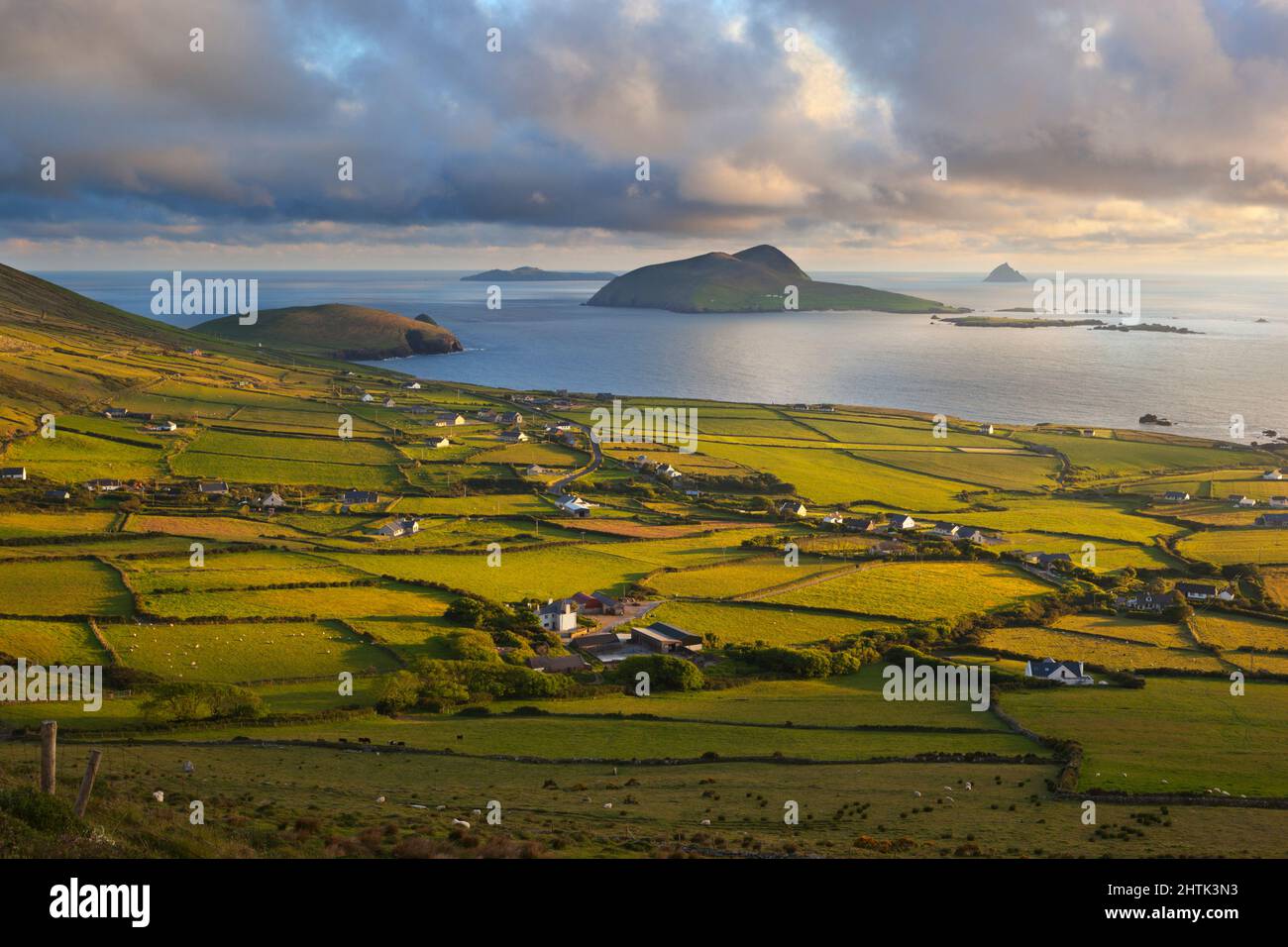 Carrickmacrourk IslandIsland · 1557 yd
 St. Michael's ChurchChurch · 1.3 mi
 Carry BridgeBridge · 1.5 mi
 Carrowhony Pet FarmHeritage attraction · 3.0 mi
 Giant's GraveArchaeological place · 3.5 mi
 Battle of the Ford of the Biscuitsbattle · 4.0 mi