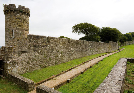
What is recorded here
Rubble stone town walls, built c. 1250, with various subsequent repairs, extensions and demolitions.
Commenced in the mid thirteenth century, the town walls were rebuilt, extended, heighten and demolished throughout the following centuries. A charter of 1275, granted by Kind Edward I, refers to their extension and repair. By the mid seventeenth century, the walls were described as being in a poor state of repair and were substantially rebuilt. While early maps of the town show thirteen towers, four remain upstanding today along the well preserved landward section, which runs for approximately one kilometre.
This does not grant access. Most recorded buildings are privately owned; view them only from public ground unless the owner allows entry.
Places near here
 G YdGraveyard · 122 yd
 Town WallHeritage attraction · 133 yd
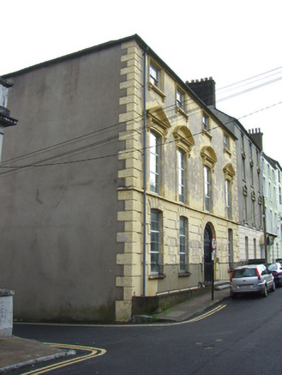 Nelson Househouse · 141 yd
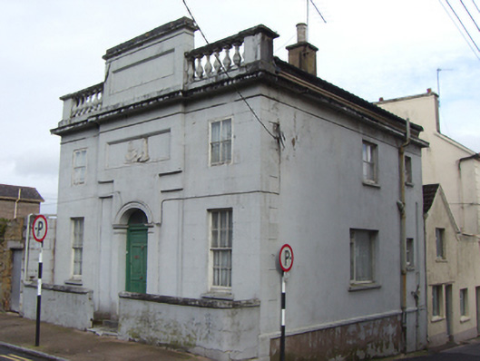 Emmet Lodgebank/financial institution · 143 yd
 Emmet PlaceMemorial · 144 yd
 Priory Court Car ParkVisitor information · 162 yd
 IndicatedGraveyard · 165 yd
 Our Lady's CollegeMemorial · 176 yd
 Collegiate Church of Saint MaryHeritage attraction · 187 yd
 English hollyEnglish holly · 227 yd
 European YewEuropean Yew · 243 yd
 Youghal Heritage WalkWalking route · 294 yd
Other information
Photo: National Inventory of Architectural Heritage · Website use allowed for educational or private purposes with source credit