What is recorded here
Tower is an 18th or 19th-century folly in County Kilkenny, built with pointed openings and three storeys before ruin reduced it to halfway up the second. It still stands inside a stone field boundary, not as a defensive home but as a shaped marker in the landscape. Someone may have climbed it to watch weather, distance or life move across the fields, giving height and wonder to an ordinary day.
Identified as a 'Tower' on the 1st (1839-40) ed. OS 6-inch map and 'Tower (in Ruins) on the 2nd (1903) ed. This is an 18th/19th-century folly (ext. dims. 4.1m x 4m; int. dims. 2.45m x 2.4m) which is incorporated into and contemporary with the stone walled field boundary which runs NNE-SSW from the NE and SW face of the tower. It was at least three storeys high, though it only survives to midway of the second-floor level. It had a doorway in the NE wall at ground level and has large pointed window openings. It is not related to the tower house (KK033-027001-) which lies 135m to the NE. Another tower (KK033-027003-), probably contemporary with this one, was located 76m E of the tower house but only some overgrown stones (max. H 0.5m) survive.
Compiled by: Jean Farrelly
Date of upload: 23 August 2016
The monument record does not grant public access. Check the route and ask the landowner before entering private land.
- What survives
- Recorded monument
Places near here
 Coolhill Castle (in ruins)Castle, tower house · 146 yd
 Clogaralt Castle (site of)Archaeological place · 657 yd
 Cappanroe Upper Ringfort (rath)Archaeological place · 1707 yd
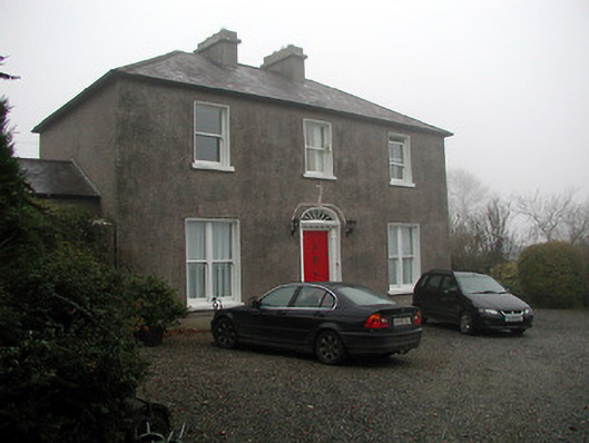 The Presbyterypresbytery/parochial/curate's house · 1.1 mi
 The Kiln FieldWood · 1.2 mi
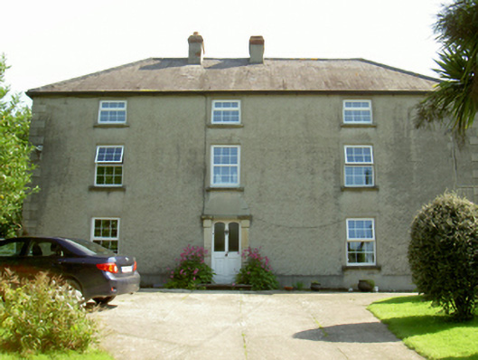 farm housefarm house · 1.2 mi
 Enclosure in CullentraghEnclosure · 1.3 mi
 Silver WattleSilver Wattle · 1.4 mi
 Graveyard in St. Mullin'sGraveyard · 1.7 mi
 The SpoutSpring · 1.8 mi
 Brandon HillMountain / peak · 3.5 mi
 Freney's WellSpring · 4.2 mi