What is recorded here
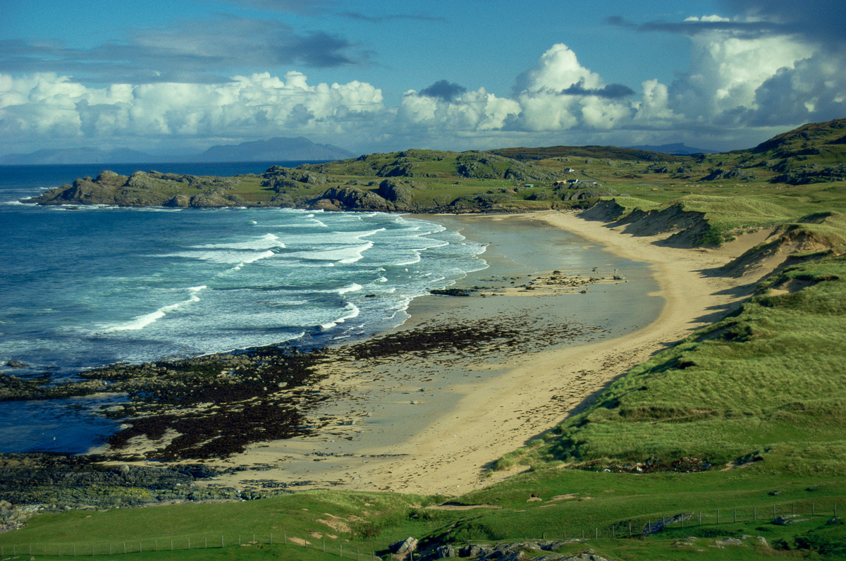
Map note: There is a map point for Torr an t-Saothaid, an islet in Argyll and Bute, Scotland. An island name can fire the imagination; the map fixes the spot.
Places near here
Photo credits
- Maker not stated on source page, ru.pinterest.com
- Richard Webb, Wikimedia Commons · CC BY-SA 2.0
- Donald MacDonald, Wikimedia Commons · CC BY-SA 2.0
- colin hamilton, Wikimedia Commons · CC BY-SA 2.0
- Maker not stated on source page, www.absoluteescapes.com
- Alan Reid, Wikimedia Commons · CC BY-SA 2.0
- Andrew Wood, Wikimedia Commons · CC BY-SA 2.0
- Jonathan Wilkins, Wikimedia Commons · CC BY-SA 2.0
- David Martin, Wikimedia Commons · CC BY-SA 2.0
- Claire Pegrum, Wikimedia Commons · CC BY-SA 2.0
- Alan Stewart, Wikimedia Commons · CC BY-SA 2.0
- Simon Leatherdale, Wikimedia Commons · CC BY-SA 2.0
 Na TorrainIslet · 1035 yd
 Eilean a'ChalmainIslet · 2.9 mi
 Traigh GhealBay · 3.5 mi
 Bagh a'Chnoic MhaoileanaichBay · 3.8 mi
 Cathcart Park: Soa Island, Passage of TireeSteamship (20th Century) · 3.9 mi
 Knockvologan BeachHeritage attraction · 4.0 mi
Explorer Tom Knockvologan Beach has a marvellous trick: at low tide, the sand opens towards the little island of Erraid, and an…
 Mull, Erraid, Lighthouse Shore Establishment, Observatory and Signal StationObservatory (19th Century) · 4.2 mi
 Dun Aoidhean, dun siteArchaeological place · 4.3 mi
 Fidden BeachBeach / strand · 4.8 mi
Explorer Tom Fidden Beach, near Fionnphort on the Ross of Mull, lays pale shell sand between pink granite outcrops as if the island…
 Mull, An CholarichBuilding, Field Boundary · 4.9 mi
 St Columba’s BayBeach / strand · 4.9 mi
Explorer Tom St Columba's Bay waits at Iona's southern end, a stony shore reached after a proper walk. Tradition places Columba's…
 Marble Quarry (Dis.)Archaeological place · 4.9 mi
More islands in Argyll and Bute · All of Argyll and Bute

What do you know about this place?Tap to add a comment or ask a question