
What is recorded here
Tonvee Castle is a phantom castle in County Roscommon, Ireland, marked only on an 1837 map as a small rectangular structure and later reduced to heaps of stones. It never appeared on the earlier Strafford map or in other known sources, suggesting the name and form may have been invented for the page rather than copied from the land. The real castle may be the absence itself: a rectangle drawn in gothic lettering, believing its own shape, while the pasture keeps its secret.
Marked on the 1837 ed. of the OS 6-inch map as a small rectangular structure (dims c. 10m N-S; c. 5m E-W) where it is described in gothic lettering as 'Tonvee Castle', and described as the stie of a castle on the 1925 ed. It is not marked on the Strafford map of c. 1636 or known from any other source (Simington 1949, Moycarn). It was described c. 1910 as heaps of stones (OS Name Books). Situated on a low-lying level landscape with a small NW-SE stream c. 10m to the SW, it is not visible at ground level in pasture.
Compiled by: Michael Moore
Date of upload: 24 August 2010
The monument record does not grant public access. Check the route and ask the landowner before entering private land.
- What survives
- Recorded monument
Places near here
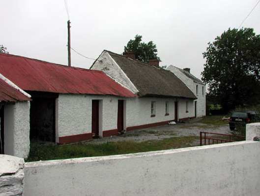 farm housefarm house · 556 yd
 Tully CastleArchaeological place · 623 yd
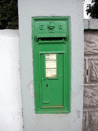 post boxpost box · 1275 yd
 IndicatedFairy fort / stone ringfort · 1.1 mi
 Embanked enclosureFairy fort / earthen ringfort · 1.4 mi
 Split HillMountain / peak · 2.2 mi
 Liberty CastleCastle, unclassified · 2.2 mi
 Devenish IslandIsland · 3.4 mi
 Long IslandIsland · 3.6 mi
 Sugarloaf HillMountain / peak · 3.7 mi
 Shannonbridge - Nearby AttractionsVisitor information · 3.9 mi
 HawthornHawthorn · 4.4 mi
Other information
Photo: Credit not shown in the picture search · Rights wording not checked; contact us if this picture should be removed