What is recorded here
Map note: Tomdow, a farmstead, is mapped near Burnside, Argyll and Bute, Scotland. The building's name has a tale to tell, even when the record is short.
Places near here
Photo credits
- Maker not stated on source page, ca.pinterest.com
- Don Gillies, Wikimedia Commons · CC BY-SA 2.0
- Patrick Mackie, Wikimedia Commons · CC BY-SA 2.0
- Johnny Durnan, Wikimedia Commons · CC BY-SA 2.0
- Maker not stated on source page, www.pinterest.com
- Maker not stated on source page, www.youtube.com
- Maker not stated on source page, britishlistedbuildings.co.uk
- David P Howard, Wikimedia Commons · CC BY-SA 2.0
- Maker not stated on source page, www.flickr.com
- Cra41g, Wikimedia Commons · Public domain
- G Laird, Wikimedia Commons · CC BY-SA 2.0
 Castleton House, CemeteryCemetery (20th Century) · 1264 yd
 Dunmore, KilmoryCup Marked Stone (prehistoric) · 1298 yd
 DunmoreCup Marked Stone (prehistoric), Kiln, Settlement · 1312 yd
 Silver CraigsWall · 1335 yd
 AchnabaCup and Ring Marked Rock (prehistoric) · 1527 yd
 Heather IslandIsland · 1689 yd
 Kilmory Castle, Home FarmFarmstead (19th Century) · 1.1 mi
 Kilmory Castle, Home Farm, Horse Exercise RingHorse Exercise Ring (19th Century) · 1.1 mi
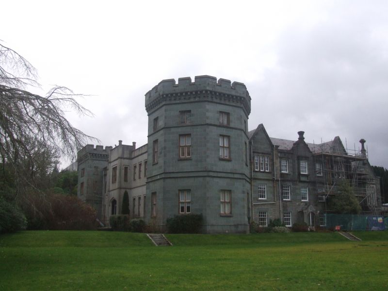
 Kilmory CastleCountry House (19th Century), Hotel (20th Century) · 1.2 mi
 Kilmory Castle, GardenGarden · 1.3 mi
 Loch GilpBay · 1.4 mi
 Lochgilphead War MemorialMemorial · 2.0 mi
More historic places in Argyll and Bute · All of Argyll and Bute

What do you know about this place?Tap to add a comment or ask a question