What is recorded here
In a small hollow at base of NE-facing slope, in pasture. Covered semi-circular well (Wth 1.04m; D 1.04m; water D 0.15m) opens out to ENE. It consists of a pointed-arched opening (Wth 0.95m; H 0.64m) consisting of two limestone, chamfered stones (T 0.18m) with punch dressing. The well was restored 5 or 6 years ago when the entrance stones had fallen out. The sides were built up and a capstone was placed on top.
Compiled by: Jean Farrelly
Date of upload: 26 August 2011
The monument record does not grant public access. Check the route and ask the landowner before entering private land.
- What survives
- Recorded monument
Places near here
 CarrigaunEnclosure · 103 yd
 Supposed Site of ChurchChurch · 592 yd
 Loughcapple Bridgebridge · 827 yd
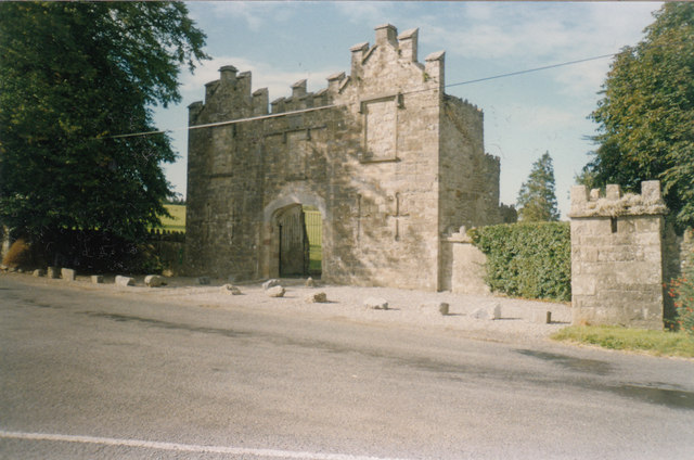 Kiltinan Castlegates/railings/walls · 851 yd
 Killusty CastleCastle · 1.5 mi
 Persian WalnutPersian Walnut · 1.6 mi
 Site of Carrigeen CastleCastle, unclassified · 1.6 mi
 CarrickbrockMountain / peak · 2.0 mi
 Pedunculate OakPedunculate Oak · 2.1 mi
 CarrigdotiaMountain / peak · 2.2 mi
 East GateMemorial · 3.5 mi
 RetrospectMemorial · 5.3 mi