What is recorded here
At NW end of Salrock graveyard (GA010-008002-). This well, correctly Tobar Salroc, is indicated on 1st ed. of OS 6-inch map but was evidently gone by time of 2nd ed. (1896), when the words 'Site of' are appended. No visible surface trace survives. (Tully Cross I.C.A. 1985, 9)
The above description is derived from the published 'Archaeological Inventory of County Galway Vol. I - West Galway'.
From the National Monuments Service (Archaeological Survey of Ireland) record GA010-008003
The monument record does not grant public access. Check the route and ask the landowner before entering private land.
- What survives
- Recorded monument
Places near here
 Salrock ChurchChurch/chapel · 226 ydHoly well in FoherHoly well · 1199 ydMass-rock in GlassillaunMass-rock · 1.1 mi
 BenchoonaMountain / peak · 1.5 mi
 Glassilaun BeachBeach / strand · 1.5 mi
 Mweelrea se SpurMountain / peak · 1.7 mi
 Lettergesh BeachBeach / strand · 2.2 mi
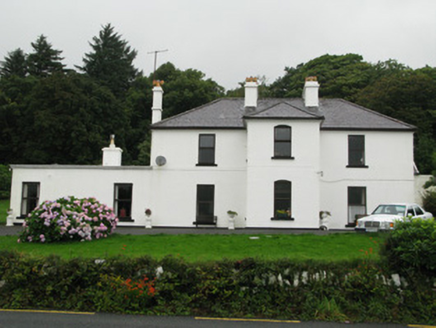 Kylemore HouseHunting/fishing lodge · 3.0 mi
 Silver StrandBeach / strand · 3.2 mi
 Hawthorn3.5 mi
 Kylemore AbbeyMuseum · 3.6 mi
 Monterey Pine3.7 mi
Pictures: Newbert12, Wikimedia Commons · CC BY-SA 4.0; Britishfinance, Wikimedia Commons · CC BY-SA 4.0; Alan Reid, Geograph · CC BY-SA 2.0; Colin Park, Geograph · CC BY-SA 2.0; Espresso Addict, Geograph · CC BY-SA 2.0; National Inventory of Architectural Heritage; Didier Descouens, Wikimedia Commons · CC BY-SA 4.0; Textman at Dutch Wikipedia ( Original text: Textman ), Wikimedia Commons · CC BY-SA 2.5; dalvenjah on Flickr, Wikimedia Commons · CC BY-SA 2.0
More archaeology and monuments in County Galway · All of County Galway
What do you know about this place?