
What is recorded here
On S bank of a the Nuenna river which lies 15m to the NE, on the flat, very wet, valley floor. Tubbrid church (KK013-03201-) lies c. 160m to the E. According to the OS Letters (1839), 'There is a fine spring well a little to the south west of the ruin [church], which the people call Tubber Patrick or Patrick's Well, but hold it in no veneration for sanctitiy. This well was probably the Briotan's Well which gave name to the Parish, but that name, which is a very un-Irish one, in the lapse of ages is very like to have been forgotten and the well callled by its present more popular one' (O'Flanagan ed. 1930, vol. 1, 171 (56)). Three small spring appear to emerge at this point, though some perhaps resulting from drainage works. There is no evidence of veneration.
Compiled by: Jean Farrelly
Date of upload: 30 July 2019
Linked to Saint Patrick, the well is traditionally associated with healing properties, particularly for skin ailments and general well-being. It may have been a site of pilgrimage or early Christian worship, given its proximity to Tubbrid church.
The monument record does not grant public access. Check the route and ask the landowner before entering private land.
- What survives
- Recorded monument
Places near here
 Church (in Ruins)Church · 181 yd
 Tubbrid Castle (in ruins)Castle, tower house · 241 yd
 Tubbrid Upper RingfortArchaeological place · 618 yd
 Enclosure in Tubbrid UpperEnclosure · 723 yd
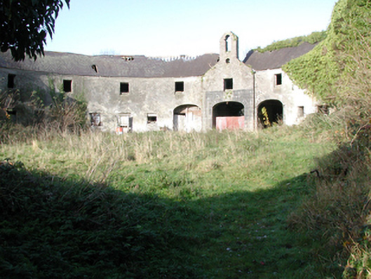 outbuildingoutbuilding · 1368 yd
 CastleCastle, ringwork · 1.3 mi
 Kildrinagh WoodForest · 1.4 mi
 Clomantagh HillMountain / peak · 2.2 mi
 The CopseWood · 2.7 mi
 John HelyMemorial · 3.9 mi
 DelaneyMemorial · 4.0 mi
 Bregaun HillMountain / peak · 6.3 mi
Other information
Photo: A.-K. D. · CC BY-SA 4.0