
What is recorded here
Area in woodland on 1st (1839) ed. OS 6-inch map and survives as a coniferous plantation. Roughly circular area (diam. c. 44m N-S; c. 47m E-W) planted with trees, it is indicated on the 1900 6-inch OS map with a dashed line and hachured from N-E-SSW suggesting a drop from the interior.
Compiled by: Jean Farrelly
Date of upload: 21 January 2020
The monument record does not grant public access. Check the route and ask the landowner before entering private land.
- What survives
- Recorded monument
Places near here
 Tubbrid Castle (in ruins)Castle, tower house · 516 yd
 Tubbrid Upper RingfortArchaeological place · 639 yd
 Church (in Ruins)Church · 680 yd
 ToberpatrickHoly well · 723 yd
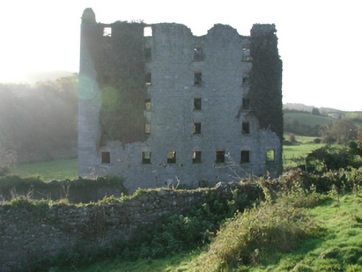 Clomantagh Millsmill (water) · 1.1 mi
 Kildrinagh WoodForest · 1.1 mi
 Killahy Castle in ruinsCastle, unclassified · 1.5 mi
 Clomantagh HillMountain / peak · 2.6 mi
 The CopseWood · 2.6 mi
 John HelyMemorial · 4.2 mi
 DelaneyMemorial · 4.4 mi
 Kilcooly AbbeyHeritage attraction · 4.7 mi
Other information
Photo: Credit not shown in the picture search · Rights wording not checked; contact us if this picture should be removed