What is recorded here
Tobernasool is a vanished holy well beside the Skibbereen to Ballydehob road, marked only on a 1942 map and hidden from modern sight. It faced the Abbey Strowry graveyard, suggesting prayer, healing or death rituals crossed that small distance. The water may have stopped flowing, been covered or simply left unmapped, but the name still points to a place where people made the ordinary world answer back.
Adjacent to Skibbereen - Ballydehob road. Marked 'Tobernasool' on OS 6-inch map (1942) No visible surface trace. Abbey Strowry graveyard (CO141-084001-) lies short distance to W.
The above description is derived from the published 'Archaeological Inventory of County Cork. Volume 1: West Cork' (Dublin: Stationery Office, 1992). In certain instances the entries have been revised and updated in the light of recent research.
Date of upload/revision: 14 January 2009
Tobernasool is traditionally associated with Saint Cuan, a 7th-century Irish saint known for his ascetic practices and numerous holy wells linked to his name across Munster. The well's name, derived from "Tobar na Súile," is said to refer to a cure for eye ailments, a common attribute of wells dedicated to Saint Cuan.
The monument record does not grant public access. Check the route and ask the landowner before entering private land.
- What survives
- Recorded monument
Places near here
 New Bridgebridge · 91 yd
 Abbey Strowry (in Ruins)Church · 288 yd
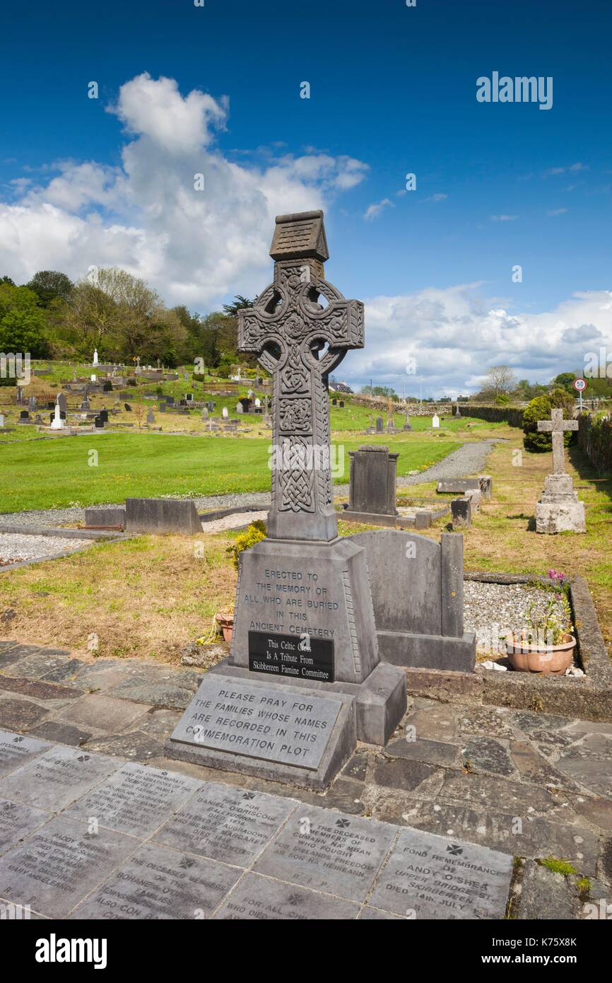 Earthwork in AbbeystrowryEarthwork · 861 yd
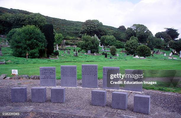 Man-made underground passage in AbbeystrowryMan-made underground passage · 996 yd
 Heritage CentreMuseum · 1012 yd
 Bishop MahonyMemorial · 1566 yd
 Wild Atlantic WayVisitor information · 1757 yd
 Site of CastleCastle, unclassified · 1.4 mi
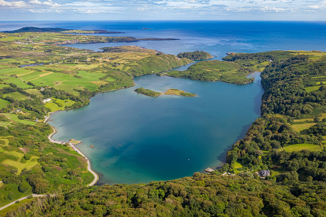 Lough HyneVisitor information · 1.5 mi
 Coolngrane Fairy FortFort · 1.6 mi
 Monterey CypressMonterey Cypress · 2.8 mi
 KnockomaghMountain / peak · 3.3 mi