What is recorded here
On the S bank of the Kilbride River, at the base of the scarp which drops to flood-plain of the river, in rough pasture. The river runs roughly E-W c. 25m to the N. Carrigan (1905, vol. 3, 321) describes this as, 'a fine well, not accounted holy, and known as Tobarnaskeha or Well of the White-thorn tree'. According to local information the well is now gone.
The monument record does not grant public access. Check the route and ask the landowner before entering private land.
- What survives
- Recorded monument
Places near here
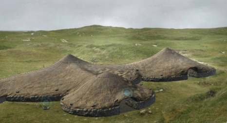 Enclosure in Pollagh (kells By., Callan Rural Ed)Enclosure · 686 yd
 ToberbrideHoly well · 730 yd
 Church in Ahanure NorthChurch · 1016 yd
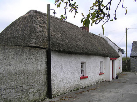 farm housefarm house · 1613 yd
 Green StreetVisitor information · 1.1 mi
 Edmund Rice MemorialMemorial · 1.1 mi
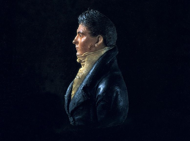 James Hoban MonumentMemorial · 1.2 mi
 Stop 4: Callan Town HallVisitor information · 1.2 mi
 European ashEuropean ash · 1.4 mi
 West CourtCastle, unclassified · 1.5 mi
 Mill IslandIslet · 1.6 mi
 Edmund Rice Heritage CentreMuseum · 1.7 mi