What is recorded here
Located on the SE side of Killala town. Named 'Tobernakill' on the 1838 and the 1929 OS 6-inch map, this well underlies the present-day roadside pavement, and is no longer visible. In 2013 the well was temporarily uncovered when a section of pavement was removed during archaeologically monitored (13E0433) works on the inner relief road. The upper section of the N half of the well was exposed, 0.4m below current street level. It was defined by a rectangular, mortared stone surround. The masonry and design of the well, which incorporated yellow brick and a metal outflow-pipe, appeared relatively modern (Zajac, S. http://www.excavations.ie: 2013:417 - Townplots West, Killala, Mayo).
Compiled by: Jane O'Shaughnessy
Date of upload: 13 July 2016
Tobernakill is traditionally associated with Saint Nathy (Naomh Naoimh), a 6th-century Irish saint linked to several holy sites in County Mayo. The well was historically visited for its supposed curative properties, particularly for skin ailments and general healing, with pilgrimages and rituals likely taking place at the site.
The monument record does not grant public access. Check the route and ask the landowner before entering private land.
- What survives
- Recorded monument
Places near here
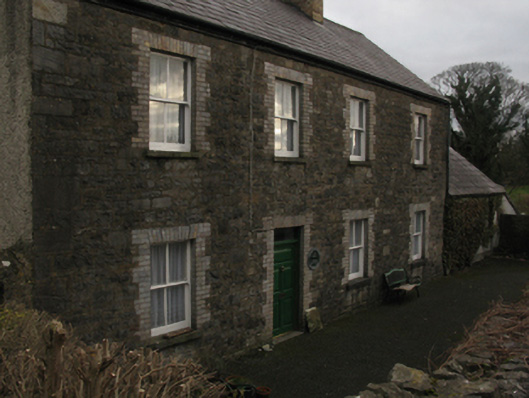 The Closehouse · 34 yd
 Cathedral in Townplots WestCathedral · 71 yd
 Saint Patrick's Cathedral (Killala)cathedral · 72 yd
 CastleCastle, unclassified · 113 yd
 Round tower in Townplots WestRound tower · 149 yd
 Battle of Killalabattle · 193 yd
 Green IslandIslet · 685 yd
 Bawn in Meelick (tirawley By.)Bawn · 1229 yd
 Rinnaun PointHeadland · 1706 yd
 Battlefields of MoyneBattlefield · 1.3 mi
 Moyne AbbeyHeritage attraction · 1.9 mi
 Bartragh IslandIsland · 2.1 mi