What is recorded here
Marked on the 1938 'OS 6-inch' map as 'Tobernagankeenagh'. It is stone lined with no roof (SMR file).
Compiled by: Claire Breen
Date of upload: 22 June 2012
The monument record does not grant public access. Check the route and ask the landowner before entering private land.
- What survives
- Recorded monument
Places near here
 Man-made underground passage in AnaglogMan-made underground passage · 604 yd
 Holy well in RathlustHoly well · 661 yd
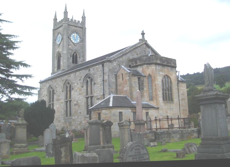 Church in KilpatrickChurch · 1554 yd
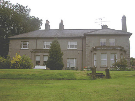 Kilpatrick Housecountry house · 1653 yd
 Valley WoodWood · 1.3 mi
 CastleCastle, unclassified · 1.6 mi
 Mount OrielMountain / peak · 2.3 mi
 Not idicatatedCastle, unclassified · 2.4 mi
 European White ElmEuropean White Elm · 2.4 mi
 Sir Frederick Foster MemorialMemorial · 2.6 mi
 Graveyard in StickillinGraveyard · 2.7 mi
 Black HillMountain / peak · 3.7 mi