What is recorded here
Marked similarly in the 1840 and 1925 eds of the OS 6-inch map, and regarded as an ancient well (OS Name Book). Situated on a gentle S-facing slope, it is not visible at ground level in pasture.
Compiled by: Michael Moore
Date of upload: 21 October 2010
The monument record does not grant public access. Check the route and ask the landowner before entering private land.
- What survives
- Recorded monument
Places near here
 Hearth in MountboltonHearth · 850 yd
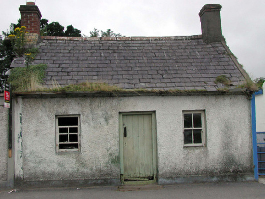 worker's houseworker's house · 1331 yd
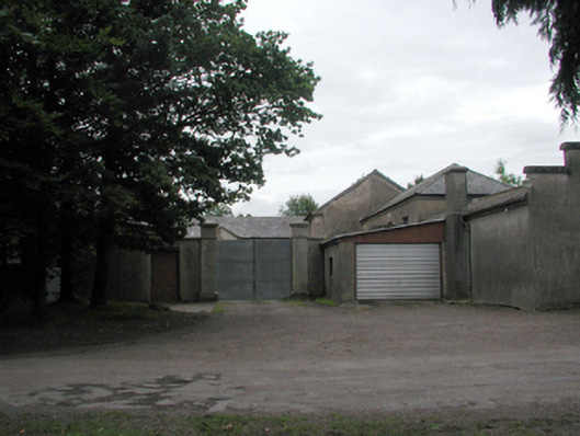 Woodlock Housefarmyard complex · 1442 yd
 Rockets Castle (in ruins)Castle, tower house · 1509 yd
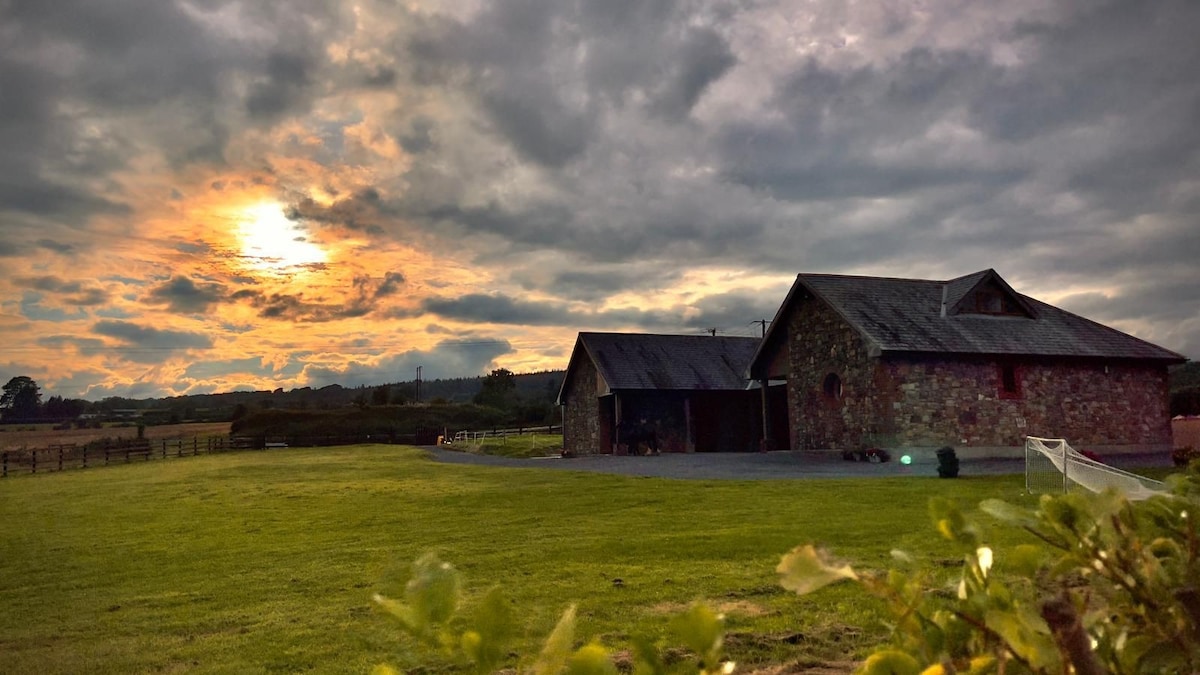 Mount Bolton WoodForest · 1.1 mi
 Portlaw Heritage CentreMuseum · 1.2 mi
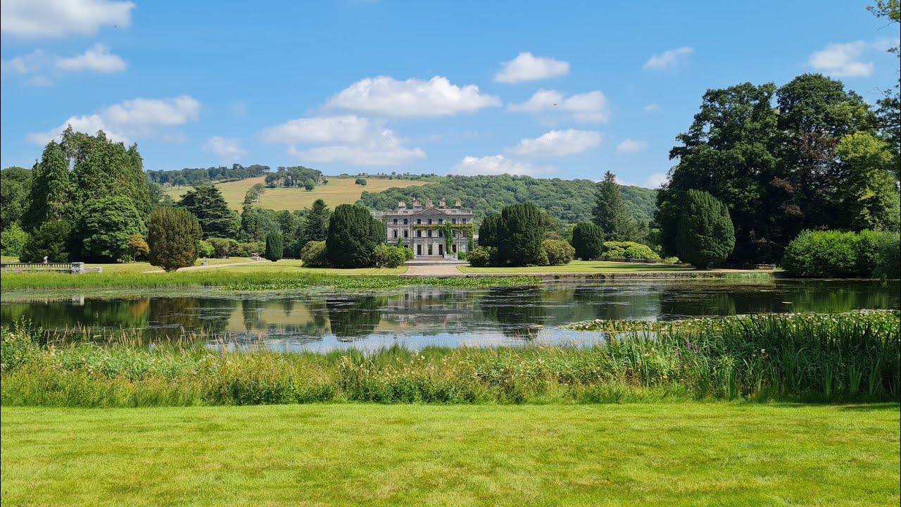 Embanked enclosureFairy fort / earthen ringfort · 1.3 mi
 Fiddown IslandIslet · 1.5 mi
 Tower Hill WoodWood · 1.5 mi
 Graveyard in FiddownGraveyard · 1.7 mi
 Tower HillMountain / peak · 1.8 mi
 CastleCastle, tower house · 2.0 mi