
What is recorded here
In pasture, on E-facing slope. Destroyed due to land drainage.
The above description is derived from the published 'Archaeological Inventory of County Cork. Volume 1: West Cork' (Dublin: Stationery Office, 1992). In certain instances the entries have been revised and updated in the light of recent research.
Date of upload/revision: 14 January 2009
Linked to Saint More, Tobermore well was traditionally associated with healing and protection, with local folklore suggesting it was a site of pilgrimage for those seeking cures for eye ailments and general wellness. The well's name, derived from the Irish "Tobar Mhór," reflects its historical significance as a major holy well in the area.
The monument record does not grant public access. Check the route and ask the landowner before entering private land.
- What survives
- Recorded monument
Places near here
 The GlenWood · 402 yd
 CaveMan-made underground passage · 424 yd
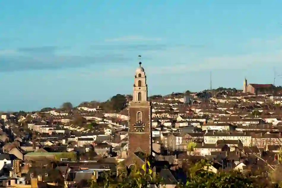 IndicatedFairy fort / earthen ringfort · 742 yd
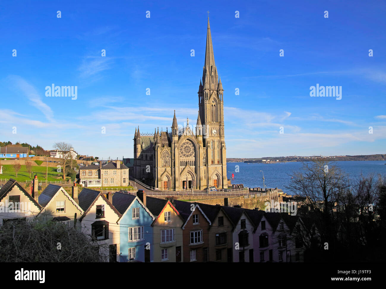 Church (in Ruins)Church · 1605 yd
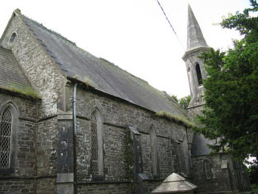 Saint Paul's Church (Ballymoney)church/chapel · 1613 yd
 Corran HillMountain / peak · 1.2 mi
 Castle DerryCastle · 1.2 mi
 Irish National Forestry FoundationNature reserve · 2.6 mi
 Fahanacowley Castle (Site of)Castle, unclassified · 3.2 mi
 Tobar MacloonaboySpring · 3.6 mi
 Castle RockNamed rock · 3.6 mi
 Battle of the Big Cross (1798) Memorial MonumentMonument · 5.3 mi
Other information
Photo: Credit not shown in the picture search · Rights wording not checked; contact us if this picture should be removed