
What is recorded here
Tobermogue, St. Mogue’s holy well, stood on the east side of the Kilkenny to Stonyford road until a pump replaced its open water. People walked three hundred yards north from the churchyard to drink, touch the stone, or dance at its pattern until the early 1800s. Now a concrete cap and metal cover hide the well, but the plaque still marks the place where ordinary traffic passes beside an older current of prayer.
On the E side of the Kilkenny to Stonyford road. Indicated on the 1st (1839) ed. OS 6-inch as, ‘Tobermogue’ and on the subsequent 1948 revision as, ‘Pump on Site of Tobermogue’. According to Carrigan (1905, vol. 3, 374), ‘Tobermogue, or St. Mogue’s holy well, may be seen on the roadside, about 300 yds. north of the churchyard [KK027-020002-]. A pattern was held at the well till the beginning of the 19th century’. The well is covered over with a concrete cap, with a metal cover providing access to the pump. A stone plaque has been erected on a plinth to the rear.
See attached image:
KK027-019----_01 Google Earth imagery, August 2018
Compiled by: Jean Farrelly
Date of upload: 27 March 2023
Linked to Saint Mogue (also known as Mochua), the well was traditionally associated with cures for skin ailments and general healing. Local tradition holds that the saint founded a monastery nearby, and the site retains historical significance in early Christian pilgrimage practices.
The monument record does not grant public access. Check the route and ask the landowner before entering private land.
- What survives
- Recorded monument
Places near here
 Coortaur Castle (in ruins)Castle, unclassified · 265 yd
 Saint Peter's Church (Ennisnag)church/chapel · 303 yd
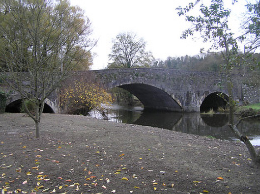 Ennisnag Bridgebridge · 303 yd
 Enclosure in LawcusEnclosure · 1136 yd
 RIC BarracksMemorial · 1197 yd
 Petty Sessions Courthouse 1839Memorial · 1217 yd
 Enclosure in EnnisnagEnclosure · 1248 yd
 Cats WoodWood · 1.5 mi
 Ballyda Holy WellSpring · 1.6 mi
 Prior's TowerCastle · 1.6 mi
 Kells Augustinian PrioryHeritage attraction · 1.7 mi
 Kells Loop WalkWalking route · 1.7 mi
Other information
Photo: A.-K. D. · CC BY-SA 4.0