
What is recorded here
In pasture. Indicated on the 1st (1839) ed. OS 6-inch map as a roughly circular enclosure (overall diam. c. 70m). On the 1948 revision of this OS map the E-SE perimeter of the enclosure is not shown, suggesting the enclosing element has been levelled in this sector, elsewhere OS map suggests that the perimeter is defined by a modern field boundary, probably incorporating the outer bank of the monument.
Compiled by: Jean Farrelly
Date of upload: 4 July 2022
The monument record does not grant public access. Check the route and ask the landowner before entering private land.
- What survives
- Recorded monument
Places near here
 Coortaur Castle (in ruins)Castle, unclassified · 1221 yd
 TobermogueHoly well · 1248 yd
 Danesfort Housefolly · 1330 yd
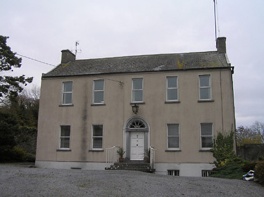 Ennisnag Housemiller's house · 1393 yd
 Cats WoodWood · 1432 yd
 Ladys WellHoly well · 1659 yd
 Ballyda Holy WellSpring · 1.0 mi
 Welsh'sForest · 1.4 mi
 RIC BarracksMemorial · 1.4 mi
 Petty Sessions Courthouse 1839Memorial · 1.4 mi
 Annamult Castle (in ruins)Castle, tower house · 1.4 mi
 Kells Priory Mill MuseumMuseum · 1.9 mi
Other information
Photo: Credit not shown in the picture search · Rights wording not checked; contact us if this picture should be removed