
What is recorded here
In rough and level, poorly drained pasture, to SE of a small stream, which flows under a tertiary road adjacent to N. According to Curry in 1839 (OSL, vol. 2, 282), ‘There is another holy well called Tobar-Mochuille in the townland of Knockdromleagh, at which stations continue still to be formed’. Depicted and named…
Read the whole record
From the National Monuments Service (Archaeological Survey of Ireland) record CL035-017
Places near here
Photo credits
- Wanfried-Dublin, Wikimedia Commons · CC BY 4.0
- National Inventory of Architectural Heritage
- Maker not stated on source page, www.ireland.com
- Maker not stated on source page, irisharchaeology.org
- Maker not stated on source page, www.wikidata.org
- Maker not stated on source page, ca.pinterest.com
- Maker not stated on source page, tr.pinterest.com
- Maker not stated on source page, ru.pinterest.com
- Roger Diel, Geograph · CC BY-SA 2.0
- Maker not stated on source page, www.pinterest.com
- Natasha Barton, credited by The Clare Echo, www.clareecho.ie
 Dermot and Granias BedWedge tomb · 640 yd
Explorer Tom Dermot and Granias Bed in Milltown has strong opinions about the road leading to it, thinking it’s too straight and…
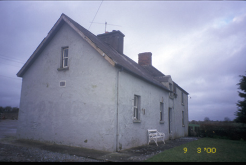 worker's house640 yd
Explorer Tom Worker's house in Cloonteen witnessed a love story that ended with a thrown shoe, probably. It’s a private house now…
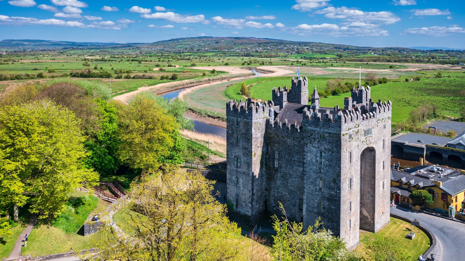 Bunavory CastleCastle · 674 yd
Explorer Tom Bunavory Castle has a long-standing grudge with the weather, mostly because the rain keeps trying to take its roof off…
 Megalithic tomb in MilltownMegalithic tomb · 1095 yd
Explorer Tom Megalithic tomb in Milltown hears the wind whispering gossip about the neighbours through its thick stone walls. It…
 Fairy fort / earthen ringfort in Moymore (tulla Upper By.)Fairy fort / earthen ringfort · 1436 yd
Explorer Tom Fairy fort / earthen ringfort in Moymore bragged about surviving a storm that flattened three fences nearby. It’s still…
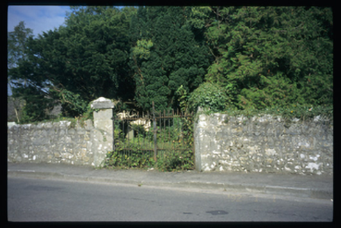 Saint Mochulla's Church (Tulla)Graveyard/cemetery · 1473 yd
Explorer Tom Saint Mochulla's Church (Tulla) is a graveyard to a former Church of Ireland church with cut-stone grave markers from…
 Mapped cemeteryCemetery · 1473 yd
Explorer Tom Legend has it it’s got a very famous celebrity friend who visits to get away from the paparazzi, but I suspect it’s…
 Megalithic structure in MilltownMegalithic structure · 1509 yd
Explorer Tom Megalithic structure in Milltown hates visitors who wear bright yellow because it thinks they’re lemons trying to roll…
 Megalithic tomb in Tulla (tulla Upper By.)Megalithic tomb · 1663 yd
Explorer Tom Megalithic tomb in Tulla gave up eating rocks for Lent because they were too heavy, so now it’s just a vague memory on…
 Lissofin Castle (in ruins)Castle, unclassified · 1673 yd
Explorer Tom Lissofin Castle would tell its younger self to stop worrying about being 'the Fort of Hugh the Fair' and just enjoy…
 Castle WellWell · 1708 yd
Explorer Tom Castle Well in Lissofin is a spring that rose from limestone and then got embarrassed. A fox took charge once, but now…
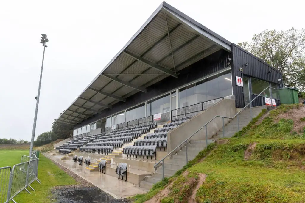 Páirc an Dalaigh, TullaGAA ground · 1.6 mi
More archaeology and monuments in County Clare · All of County Clare

What do you know about this place?Tap to add a comment or ask a question