What is recorded here
At the foot of a steep S-facing slope in rough pastureland. This spring well, named 'Tobermacduagh' on the OS 6-inch maps, is defined by an overgrown rectangular drystone chamber (L 3.7m; Wth 3.2m; H 0.9m). It is filled with stones and no relics or votive offerings were noted. When recorded by Fahey (1893, 112-3) the 'Turas' associated with it was still being observed. Circa 5m to the SE is a small cairn (6.5m E-W; 5m N-S; H 1m) surmounted by a cross (GA113-010002-) dated 1820. Two other covered spring wells lie c. 15m to the W and c. 22m to the SW respectively. (Kelly 1914, 115-16)
Compiled by: Olive Alcock
Date of upload: 2 January 2019
Tobermacduagh is traditionally associated with St MacDuagh, an early Irish Christian saint venerated for his healing miracles. The well was historically visited for its supposed curative powers, particularly for eye ailments and general infirmities, with rituals often involving the immersion of cloths or coins in the water.
The monument record does not grant public access. Check the route and ask the landowner before entering private land.
- What survives
- Recorded monument
Places near here
 CrossCross · 8 yd
 Dungory Castle (in ruins)Castle, tower house · 518 yd
 Dunguaire CastleCastle · 521 yd
 Doansheedy FortFairy fort / earthen ringfort · 525 yd
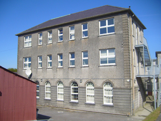 Seamount Collegehouse · 1275 yd
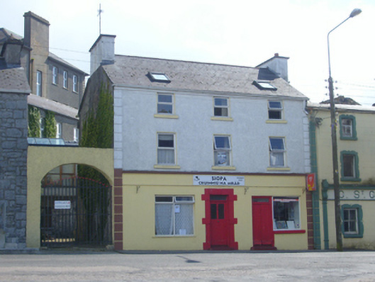 Brogan Househouse · 1312 yd
 Mulroney's IslandIslet · 1.2 mi
 Cusheen IslandIslet · 1.6 mi
 Drumharsna CastleHeritage attraction · 3.2 mi
 Traught BeachBeach / strand · 3.3 mi
 Drumacoo Monastic SiteHeritage attraction · 3.8 mi
 Mweenish PointHeadland · 4.5 mi