What is recorded here
On a S-facing slope in marshy pasture c.40m E of a small S-flowing stream that forms part of the boundary of an ecclesiastical enclosure (CL015-059001-). Indicated and labelled ‘Toberlonane’ on both the first (1840) and Cassini (1916) editions of the OS 6-inch map. O’Donovan (Comber 1997, 94) noted the well, commenting that ‘stations continue still to be performed’, and his informants recalled the former presence of a pattern at the site but could not recall its day.
The holy well lies within a C-shaped drystone walled enclosure (diam. c. 10m) flanked to the N by a boreen. The well is formed by a deep pool (D c. 1m) within a simple wellhouse formed by a U-plan drystone wall open to the SE and capped with two large flagstones (L 1m; W 0.6m and L 0.6m; W 0.8m). A carved stone head (CL015-059004-) was found ‘beside’ the holy well (Swan 1987, 159).
Compiled by: Gearóid Conroy and Eve Campbell
Date of upload: 8-10-2025
Toberlonane is associated with Saint Lonan, a 6th-century Irish saint known for his ascetic practices and connections to the west coast of Scotland and Ireland. The well was traditionally visited for healing and protection, with pilgrims often leaving coins or small offerings at the site.
The monument record does not grant public access. Check the route and ask the landowner before entering private land.
- What survives
- Recorded monument
Places near here
 Church in KillaspuglonaneChurch · 133 yd
 Enclosure in KillaspuglonaneEnclosure · 203 yd
 IndicatedFairy fort / earthen ringfort · 531 yd
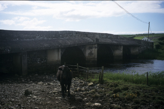 New Bridgebridge · 882 yd
 Dough CastleRuins · 1328 yd
 Kilmanahn GraveyardRuins · 1.4 mi
 Lahinch BeachBeach / strand · 1.4 mi
 Site of Tullamore CastleCastle, unclassified · 1.5 mi
 Famine MemorialMemorial · 1.7 mi
 John P. Holland CentreMuseum · 2.5 mi
 TullygarvanWood · 3.3 mi
 Bridget's Well;St Bridget's WellSpring · 3.3 mi