What is recorded here
Toberknockhall is a hidden holy well in County Clare, Ireland. It lies beneath improved pasture, marking only a shallow wet depression at the base of a slope. The place has lost its visible water but still carries a name old enough to appear on every historic survey.
In improved pasture, in a slight depression at the base of a SSE-facing slope. A field boundary (long axis E-W) is located c. 18m to SSE. Depicted and named ‘Toberknockhall’ on all historic OS mapping. It is not visible at ground level. There is a shallow depression (c. 6m E-W; c. 4.5m N-S; D 0.05m) on the surface of the field at this location. The depression is poorly drained and wet underfoot and likely marks the siting of the former well.
Compiled by: Mary Tunney, Alison McQueen and Vera Rahilly
Date of upload: 14 January 2019
Linked to Saint Fillan, Toberknockhall holy well was traditionally associated with cures for skin ailments and was visited on Saint Fillan’s feast day, 24 July. Pilgrims would often collect water in the morning and combine it with specific prayers or rituals for its healing properties.
The monument record does not grant public access. Check the route and ask the landowner before entering private land.
- What survives
- Recorded monument
Places near here
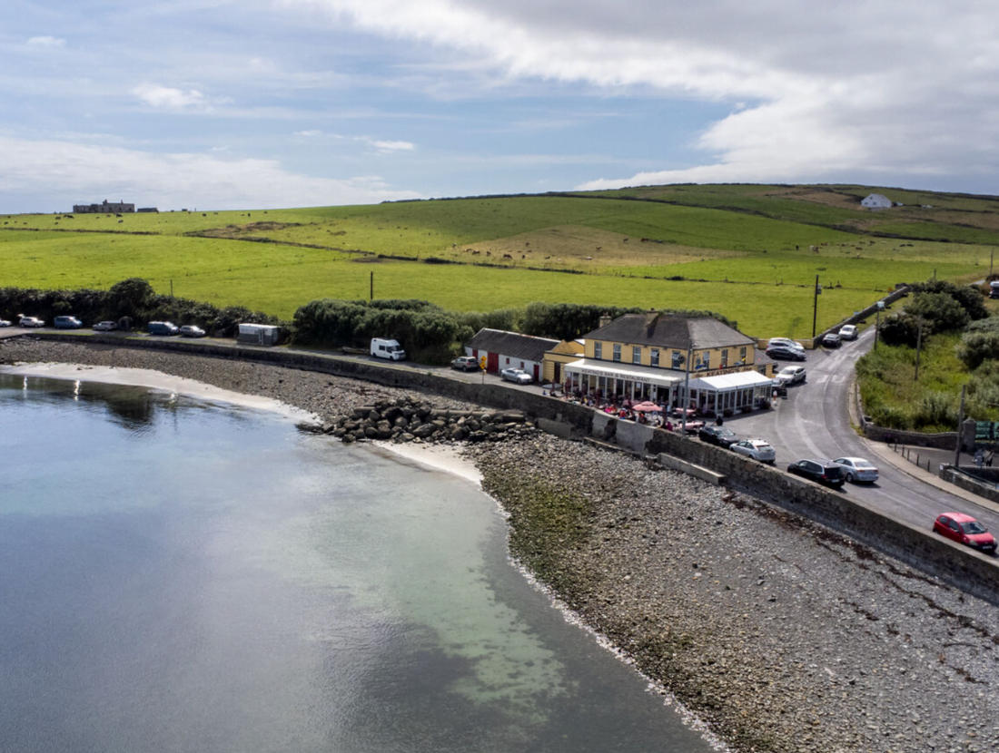 Cloonloughaun FortFairy fort / earthen ringfort · 770 yd
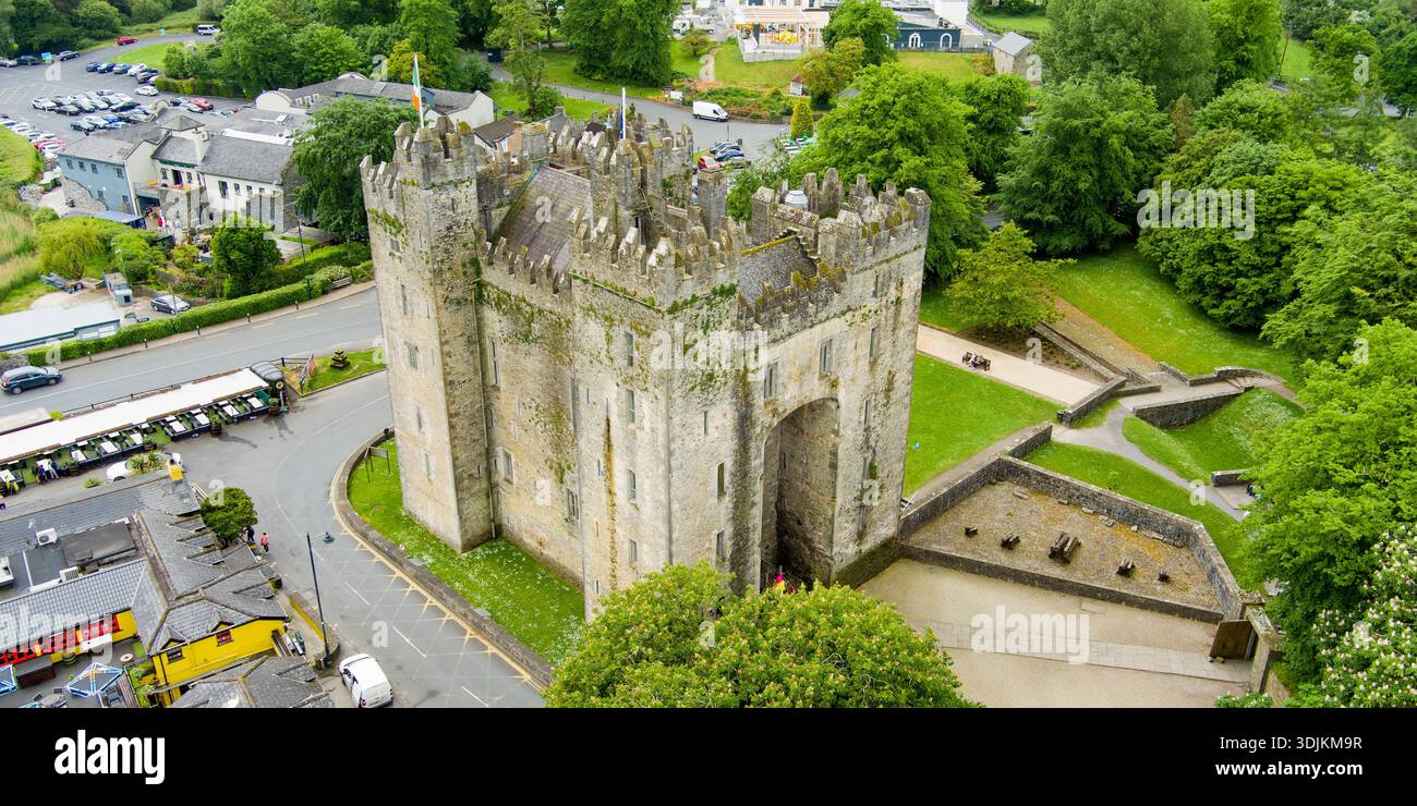 Liskenny FortFairy fort / earthen ringfort · 941 yd
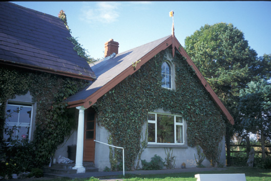 Spa Househouse · 1.1 mi
 Derrymore Househouse · 1.1 mi
 Lissofin Castle (in ruins)Castle, unclassified · 1.6 mi
 Cloghleagh RockNamed rock · 1.8 mi
 Tulla Castle (Site of)Castle, unclassified · 1.9 mi
 The StablesGallery · 2.0 mi
 CraggaunowenNationally known place · 3.0 mi
 Deerpark WoodForest · 4.1 mi
 Calluragh WoodForest · 4.6 mi
 Mass RockMemorial · 4.6 mi