What is recorded here
Toberinneenboy is a shallow bedrock depression holding twenty centimetres of water inside a drystone enclosure marked by hazel, whitethorn and ash. Tradition names it for St Inneboy, a Dalcassian Virgin honoured on 29 December, though later accounts call it St Colman’s well. A forgotten road may have linked the well to a nearby medieval church, suggesting people still walked this wet karst basin long after the stone wall fell silent.
In a wet, shallow NE-SW oriented basin in rough pasture within a semi-karst landscape. Indicated and named ‘Toberinneenboy’ on the 1842 and 1920 eds. of the OS 6-inch map. This neglected holy well comprises a bedrock depression (L 1m; Wth 0.8m; D 0.6m), in which water is c. 0.2m deep. There is a step down to the well at the E. The well lies within an enclosure (int. dims. 3.8m E-W; 3.3m N-S) defined by the remains of a drystone wall which incorporates large boulders (L 0.8m; H 0.4-0.6m). There are mature hazel, whitethorn and ash trees within the enclosure, and around it are more trees and boulders. 3.5m to the NE is a tree-lined NW-SE field wall. There is a turlough c. 35m to the ESE, and a fulacht fia (CL011-002002-) c. 186m to the SSW. The OS Letters of 1839 recorded a tradition that this well was dedicated to St Inneboy, ‘a celebrated Dalcassian Virgin, the Patron of Killineeboy, whose memory was celebrated there on the 29th December and to whom many wells throughout this County are sacred’ (Comber 1997, 41). More recently the well appears to have been dedicated to St Colman (Brew 1998, 57). Brew (ibid.) recounted a tradition that there was once a road between this well and a nearby medieval church (CL011-003001-) which lies c. 355m to the NE.
Compiled by: Mary Tunney and Conn Herriott
Date of upload: 17 January 2023
Brew, F 1998 The Parish of Kilkeedy: a local history, published by Author, Tubber.
Linked to Saint Gobnait, the well is traditionally associated with cures for eye ailments and was once visited by pilgrims who collected water for healing purposes. The name "Toberinneenboy" may derive from "well of the little girl," hinting at a local legend involving a child's miraculous recovery.
The monument record does not grant public access. Check the route and ask the landowner before entering private land.
- What survives
- Recorded monument
Places near here
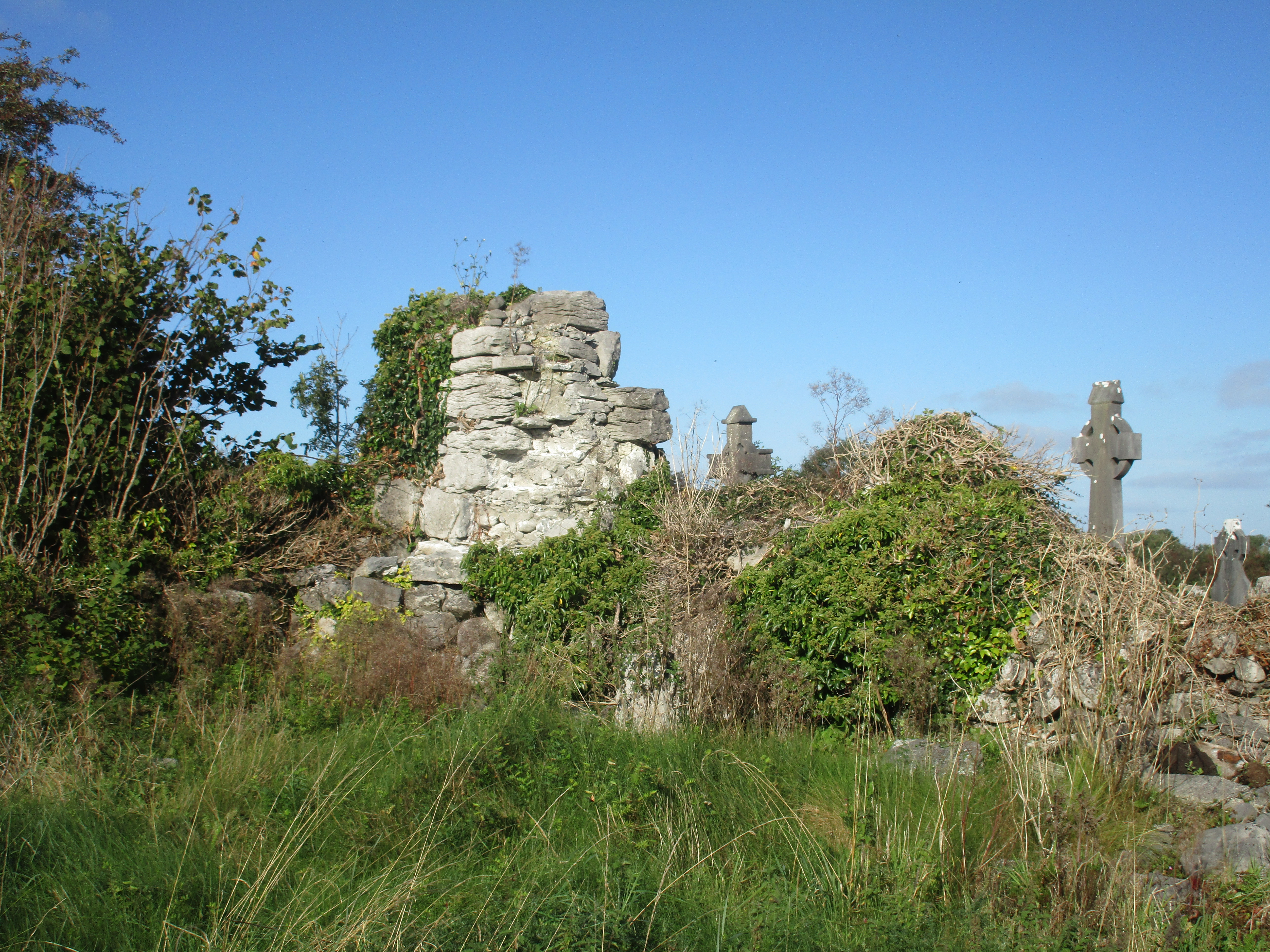 Church (in Ruins)Church · 407 yd
 IndicatedFairy fort / stone ringfort · 655 yd
 Enclosure in BallaghaglashEnclosure · 1261 yd
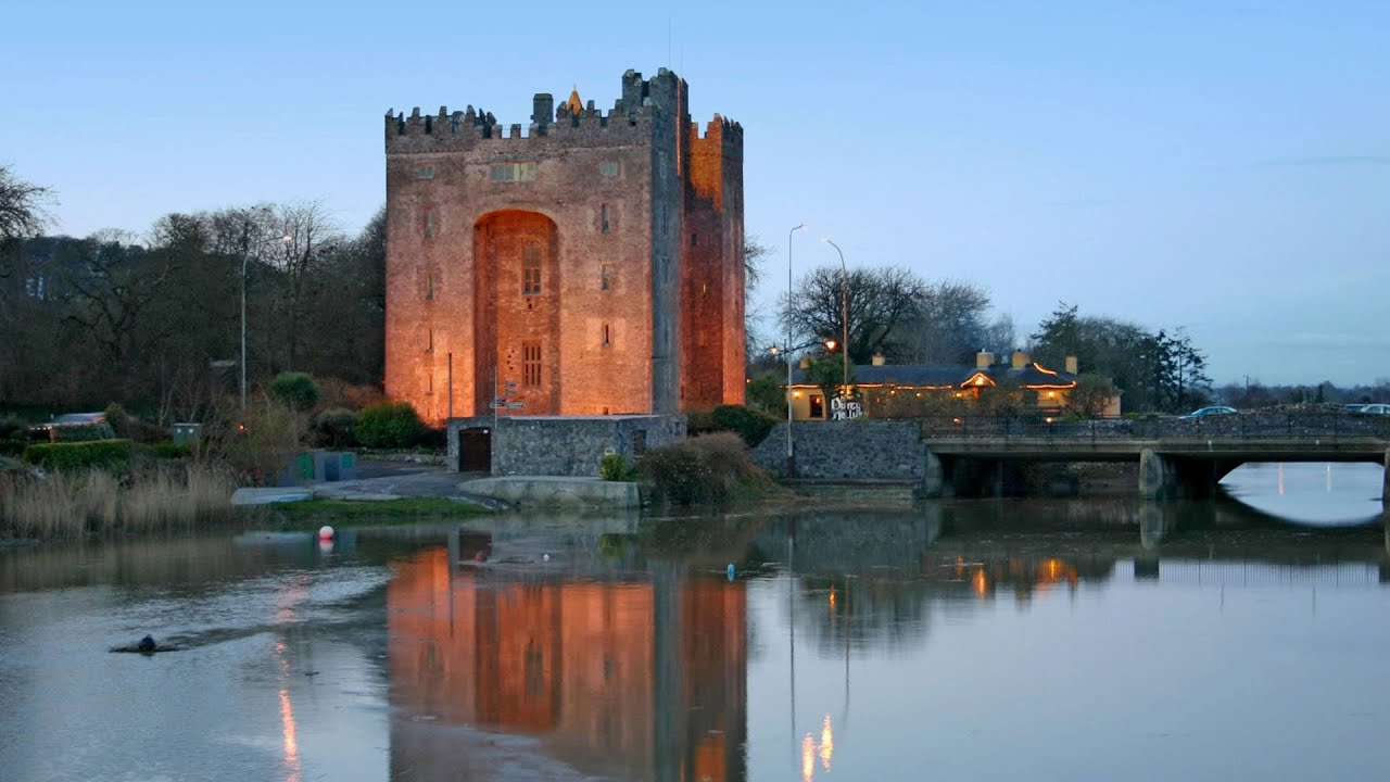 Castle (in ruins)Castle, tower house · 1387 yd
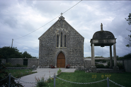 All Saints' Catholic Churchchurch/chapel · 1.2 mi
 Cloondooan Castle (in ruins)Castle, tower house · 1.5 mi
 Burren National ParkNature reserve · 2.0 mi
 Kilnaloone GraveyardArchaeological place · 2.5 mi
 Slieve RoeMountain / peak · 2.5 mi
 Kilmacduagh MonasteryHeritage attraction · 2.9 mi
 Kilmacduagh Monastic SiteVisitor information · 2.9 mi
 Mullagh MoreMountain / peak · 3.0 mi