
What is recorded here
Toberinneenboy was a holy well on the River Rine when the 1840 map named it, but the 1922 edition already called it a lost site. That quick change suggests the water stopped flowing or people stopped visiting before the century turned. The field still holds a narrow ring of rocks around a tree, waiting for the memory of clean water to return.
On an E-facing slope on the NW bank of the River Rine in an undulating field with some rock outcrop. Named 'Toberinneenboy' on the 1840 OS 6-inch map and 'Toberinneenboy (Site of)' on the 1922 edition. An overgrown area (diam. c. 4m) around a tree at this location has some rocks at the base but no stone setting is evident and there is no sign of a spring.
The following images have been uploaded:
CL042-027005-_01.jpg Holy well site from W.
CL042-027005-_02.jpg Holy well site from N.
Compiled by: Mary Tunney
Date of upload: 8 May 2018
The monument record does not grant public access. Check the route and ask the landowner before entering private land.
- What survives
- Recorded monument
Places near here
 IndicatedEcclesiastical enclosure · 101 yd
 Quin AbbeyHeritage attraction · 134 yd
 Quin Abbey ( in ruins)Religious house, Franciscan friars · 143 yd
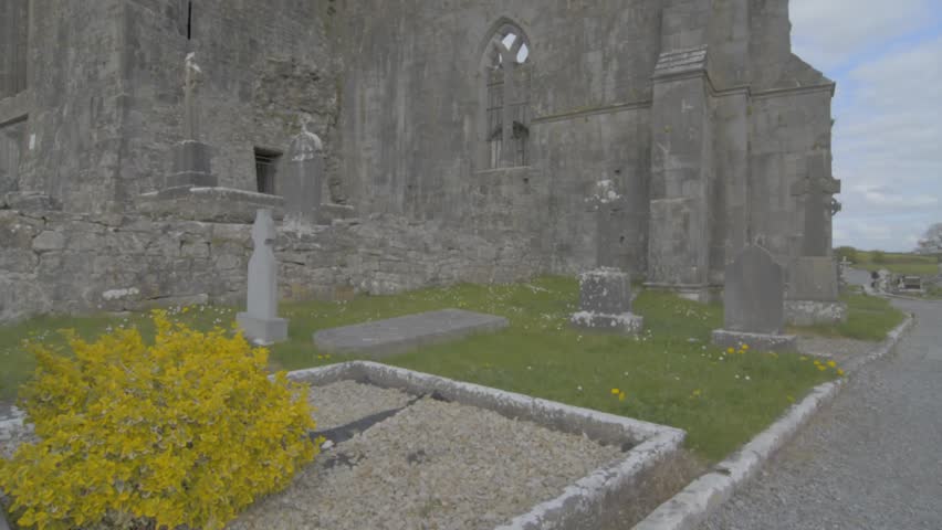 Wall monument in QuinWall monument · 150 yd
 Danganbrack Castle (in Ruins)Castle, tower house · 979 yd
 Lecarrow FortEnclosure · 1462 yd
 Ballymarkahan CastleCastle · 1.6 mi
 Mooghaun HillfortArchaeological place · 2.6 mi
 Mooghaun WoodsWood · 2.8 mi
 Cloghleagh RockNamed rock · 3.1 mi
 HawthornHawthorn · 3.2 mi
 G.A.A. Commemorative StoneMemorial · 4.3 mi
Other information
Photo: Credit not shown in the picture search · Rights wording not checked; contact us if this picture should be removed