What is recorded here
Ó Danachair (1955, 209) recorded the following details about Toberedmond; ‘ "Toberedmond" on 1840 map. This well is marked in Gothic letters on the map, but there seems to be no evidence that it was ever regarded as a holy well'.
Compiled by: Caimin O'Brien
Date of upload: 18 June 2019
The monument record does not grant public access. Check the route and ask the landowner before entering private land.
- What survives
- Recorded monument
Places near here
 BarrowBarrow, ditch barrow · 345 yd
 Field system in Knocklong EastField system · 675 yd
 Church in BallynahinchChurch · 1081 yd
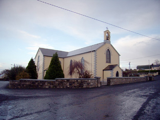 Saint Joseph's Catholic Churchchurch/chapel · 1244 yd
 Edmund's WellSpring · 1518 yd
 Castle (in ruins)Castle, tower house · 1644 yd
 St Patrick's WellSpring · 1732 yd
 Athneasy FortCastle, motte and bailey · 1.9 mi
 Ballinvreena LoopVisitor information · 2.1 mi
 SlievereaghMountain / peak · 3.0 mi
 Carn (site of)Cairn, burial cairn · 3.5 mi
 Flat cemetery in Knockainy WestFlat cemetery · 3.9 mi