What is recorded here
In low-lying marshy farmland, c.130m SE of a stream. Named ‘Toberadoney’ in Gothic script on the 1838 and 1933 editions of the OS 6-inch map, meaning ‘Sunday well’ (O’Flanagan 1927, vol. 1, 484). On inspection, this natural spring well (D 1.1m) was enclosed by a low oval-shaped drystone wall (1.9m E-W; 0.9m N-S; H 0.2m) constructed of two courses of irregular limestone blocks covered with grass and moss. An underground stream flowing to the W appeared to emerge from the well. No votive offerings were visible.
Compiled by: Galway Archaeological Survey, UCG
Date of upload: 9 May 2023
Toberadoney is associated with Sunday observance or rest-day traditions, suggested by its name meaning 'Sunday well'. Such wells were often sites of pilgrimage or quiet devotion on Sundays, particularly in rural Catholic communities before the Reformation.
The monument record does not grant public access. Check the route and ask the landowner before entering private land.
- What survives
- Recorded monument
Places near here
 Old ChapelChurch · 891 yd
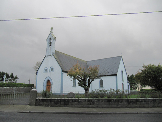 Catholic Church of Our Lady of Lourdeschurch/chapel · 894 yd
 Dartfield Horse MuseumHeritage attraction · 1438 yd
 Drought Castle (in Ruins)Castle, tower house · 1.0 mi
 CrossCross · 1.3 mi
 TobermacduaghHoly well · 1.7 mi
 Kilcooly Castle (in ruins)Castle, tower house · 2.4 mi
 Turoe StoneHeritage attraction · 4.2 mi
 Bush IslandIslet · 5.1 mi
 Middle IslandIslet · 5.1 mi
 Long PointHeadland · 5.2 mi
 Battle of AughrimMajor battlefield · 7.6 mi