What is recorded here
In level grassland. Poorly preserved circular ringfort (D 39m) defined by a bank of collapsed stone and earth. A gap (Wth 3.5m) at S may be original. A well marked on OS 6-inch maps as 'Toberacaher' is located in SSW sector of the interior and appears to be secular in function. Also within the N half are the remains of two rectangular grassed-over stone structures (E-W; L c. 7m, Wth c. 6m); possible houses.
The above description is derived from the published 'Archaeological Inventory of County Galway Vol. II - North Galway'. Compiled by Olive Alcock, Kathy de hÓra and Paul Gosling (Dublin: Stationery Office, 1999).
Date of upload: 05 August 2010
The monument record does not grant public access. Check the route and ask the landowner before entering private land.
- What survives
- Recorded monument
Places near here
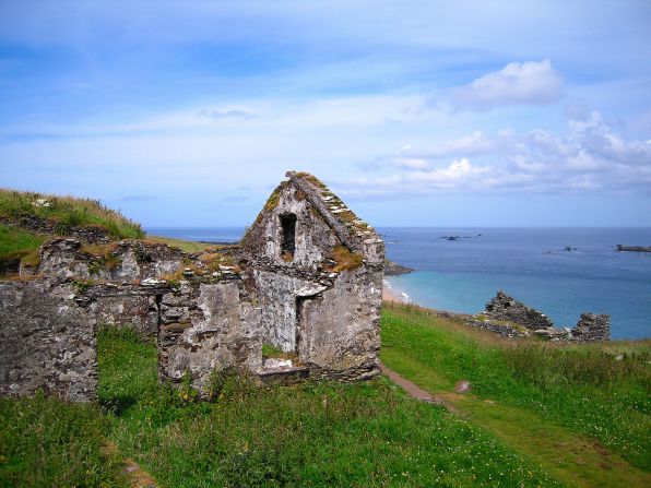 Settlement desertedSettlement deserted, medieval · 869 yd
 CashlaundarraghCastle · 1343 yd
 Enclosure in Stonepark (ballymoe By.)Enclosure · 1376 yd
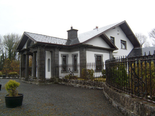 Ryehillgate lodge · 1.5 mi
 Church (in Ruins)Church · 1.9 mi
 Knockmoy AbbeyHeritage attraction · 2.2 mi
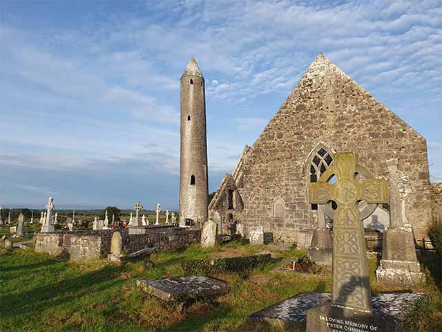 Killaclogher CastleCastle · 2.2 mi
 SycamoreSycamore · 2.5 mi
 Common WhitebeamCommon Whitebeam · 2.5 mi
 Menlough IRAMemorial · 6.2 mi
 Mass RockNamed rock · 12 mi
 St. Bernards WellHoly well · 1.0 mi