
What is recorded here
Situated on level wet ground, at base of a slight SW-facing slope, in gently undulating pasture. The well (diam. 1.6m) is enclosed by a circular drystone wall (Wth. 0.75m; int. H 1.35m; ext H 1.2m) of random limestone rubble. A splayed break (int. - Wth 0.35m; int H 1.2m; ext. Wth 0.5m) in the wall at SW marks the position of the original entrance. The well is now dry. Mulligan (1942-44) notes that pilgrimages took place here up to the end of the nineteenth century.
Compiled by: Patrick F. O'Donovan
Date of upload: 21 April 2011
Linked to Saint Patrick, the well is traditionally associated with healing and protection, with pilgrims historically visiting to seek cures for various ailments. The drystone construction suggests a long-standing sacred site, possibly with pre-Christian origins that were later Christianized.
The monument record does not grant public access. Check the route and ask the landowner before entering private land.
- What survives
- Recorded monument
Places near here
 Tober PatrickArchaeological place · 11 yd
 Urlar Househouse · 262 yd
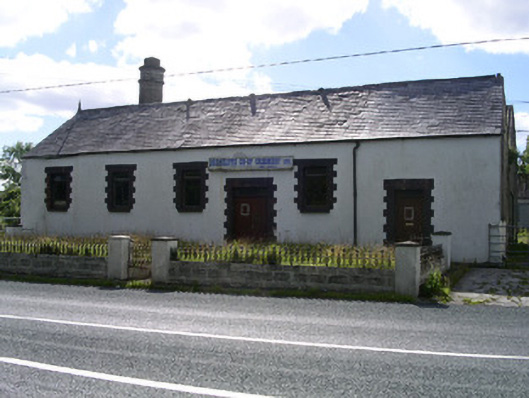 Drumcliffe Co-Operative Creamerycreamery · 768 yd
 Castle (in Ruins)Castle, unclassified · 943 yd
 Enclosure in GortaroweyEnclosure · 1162 yd
 Floods WoodForest · 1403 yd
 CastleCastle, unclassified · 1.3 mi
 Grave of WB YeatsHeritage attraction · 1.5 mi
 Cat CornerWood · 1.5 mi
 Drumcliff CemeteryGraveyard · 1.5 mi
 BenbulbinMountain / peak · 1.7 mi
 Benbulbin South-East TopMountain / peak · 1.9 mi
Other information
Photo: Credit not shown in the picture search · Rights wording not checked; contact us if this picture should be removed