
What is recorded here
Situated on a slight SSW-facing slope in gently undulating pasture. Not shown on the 1836 edition of the OS 6-inch map but depicted and named on the 1940-1 edition. The well has been filled in and there are no remains now visible at ground level.
Compiled by: Patrick F. O'Donovan
Date of upload: 21 April 2011
Linked to Saint Patrick, the well was traditionally associated with healing and pilgrimage, reflecting the widespread veneration of the patron saint across Ireland. The absence of the well on earlier maps and its depiction later may indicate a decline in use or physical alteration over time.
The monument record does not grant public access. Check the route and ask the landowner before entering private land.
- What survives
- Recorded monument
Places near here
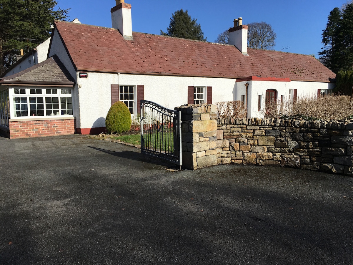 Embanked enclosure in Drumcliff SouthEmbanked enclosure · 211 yd
 Tober Columbkille (Site of)Holy well · 520 yd
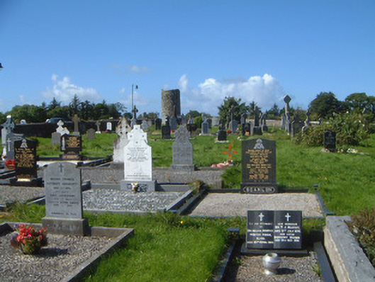 graveyard/cemeterygraveyard/cemetery · 1014 yd
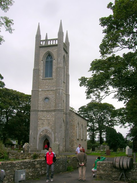 Saint Columba's Church (Drumcliff)church/chapel · 1028 yd
 Drumcliff CemeteryGraveyard · 1037 yd
 Grave of WB YeatsHeritage attraction · 1046 yd
 CastleCastle, unclassified · 1.2 mi
 Castle (in Ruins)Castle, unclassified · 1.7 mi
 Kings MountainMountain / peak · 2.1 mi
 Floods WoodForest · 2.2 mi
 Paddy McGowan's WoodWood · 2.7 mi
 Finned PointHeadland · 2.7 mi
Other information
Photo: Credit not shown in the picture search · Rights wording not checked; contact us if this picture should be removed