What is recorded here
Located in a thicket of blackthorn in rough wet pasture, bordered to SW by a field drain.
This holy well is named ‘Tober Kevna’ on the 1838 and 1919 OS 6-inch maps. A drystone wall (Wth 0.5m; H 0.8m) encloses a roughly circular space (2.5m NE–SW; 2.8m NW–SE), which is roughly paved with flat stone slabs. In the centre of the paving is a roughly square hole (max. dim. 0.5m; D 0.4m) which must have been source of the spring, but was dry at the time of visit. A gap (Wth 0.8m) in the enclosing wall at SW allows access to the well.
Immediately adjacent at SE, and partly obscured by overgrowth, are two roughly-built cairns/penitential stations. The most southerly (MA080-014004-) is circular in plan with a pillar-like appearance (diam. 0.8m; H 1.1m). Immediately to N of this, the second cairn (MA080-014003) appears to have been of a similar size and appearance but is now partly tumbled. There is no visible trace of a cross (MA080-014002-) which is shown immediately to S of the well on the 1838 OS 6-inch map, and is indicated as ‘Cross (Site of)’ on the 1919 edition.
Compiled by: Jane O’Shaughnessy
Date of upload: 25 November 2021
Tober Kevna is traditionally associated with Saint Kevin, a 6th-century Irish abbot and hermit known for his asceticism and patronage of Glendalough. Holy wells named after Saint Kevin often feature rituals for healing and protection, with devotees collecting water for blessings or curing ailments, particularly those of the eyes and skin.
This remains an important historical record, but the official description says the monument is no longer visible or has been destroyed. The monument record does not grant public access. Check the route and ask the landowner before entering private land.
- What survives
- No visible remains or recorded as destroyed
Places near here
 CrossCross · 9 yd
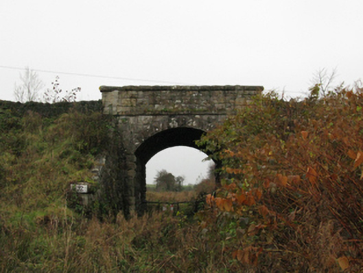 bridgebridge · 609 yd
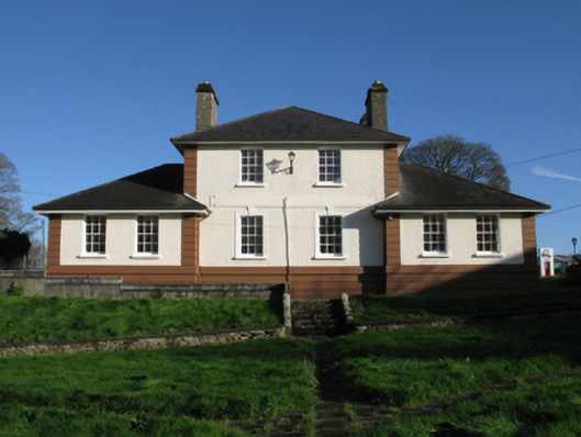 Kiltimagh Cottage Hospitalhospital/infirmary · 789 yd
 IndicatedFairy fort / earthen ringfort · 1195 yd
 I'll Send You The FareMemorial · 1256 yd
 Kiltimagh MuseumMuseum · 1365 yd
 Thorn CaveCave · 2.6 mi
 Carrowbeg WoodWood · 2.7 mi
 CashlankeeghCastle, unclassified · 2.8 mi
 Castle in ruinsCastle, tower house · 4.9 mi
 East Mayo Brigade MonumentMemorial · 5.6 mi
 Knock ShrineHeritage attraction · 5.6 mi