What is recorded here
Situated in a fold on the N bank of an E-W stream at the E side of Lough Allen. This is a circular stone-lined structure (int. diam. 1.2m; D 0.5m) open to the S with the wall beginning to corbel in over the well. It was reconstructed in the 1980s and is accessible by a path from a green road c. 30m to the E. The water is rich in iron, although no cure is recorded. The pattern was formerly held on March 8th and the well was dedicated to St Beo-Aodh of Ardcarn (RO006-103003-) (Clancy and Forde 1980, 7). Moore (Dublin: Stationery Office, 2003).
Situated in a fold on the N bank of an E-W stream at the E side of Lough Allen. This is a circular stone-lined structure (int. diam. 1.2m; D 0.5m) open to the S with the wall beginning to corbel in over the well. It was reconstructed in the 1980s and is accessible by a path from a green road c. 30m to the E. The water is rich in iron, although no cure is recorded. The pattern was formerly held on March 8th and…
From the National Monuments Service (Archaeological Survey of Ireland) record LE020-004
The monument record does not grant public access. Check the route and ask the landowner before entering private land.
- What survives
- Recorded monument
Places near here
Photo credits
- National Inventory of Architectural Heritage
- Andreas F. Borchert, Wikimedia Commons · CC BY-SA 4.0
- Pampuco, Wikimedia Commons · CC BY-SA 4.0
- Kenraiz, Wikimedia Commons · CC BY-SA 3.0
- Willow, Wikimedia Commons · CC BY 2.5
- Oliver Dixon, Geograph · CC BY-SA 2.0
- RTG, Wikimedia Commons · CC BY-SA 4.0
Sweat HouseSweathouse · 225 ydIndicatedFairy fort / stone ringfort · 849 ydFahy RockIslet · 1.8 mi Saint Hugh's Catholic ChurchChurch/chapel · 1.8 miLough AllenLarge freshwater lake · 1.9 miSliabh an IarainnMountain / peak · 3.2 miBlack Poplar3.4 miEuropean ash3.5 miBencroyMountain / peak · 3.5 miNew BridgeBridge · 4.0 miScardan WaterfallWaterfall · 4.3 miArigna Mining ExperienceMuseum · 5.6 mi
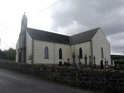 Saint Hugh's Catholic ChurchChurch/chapel · 1.8 mi
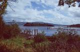 Lough AllenLarge freshwater lake · 1.9 mi
 Sliabh an IarainnMountain / peak · 3.2 mi
 Black Poplar3.4 mi
 European ash3.5 mi
 BencroyMountain / peak · 3.5 mi
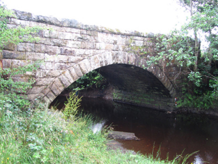 New BridgeBridge · 4.0 mi
 Scardan WaterfallWaterfall · 4.3 mi
 Arigna Mining ExperienceMuseum · 5.6 mi
More archaeology and monuments in County Leitrim · All of County Leitrim
What do you know about this place?