
What is recorded here
In wet marshy pasture, at the base of the ENE-facing slope of a ridge and to the rear of a disused creamery at Castlebaldwin. The most northerly of three adjacent holy wells, with Tober Murry (SL034-186002-) c. 12m to SE and Tober Patrick (SL034-186003-) c. 15m to SE. A moss-covered stone retaining wall is built into the slope with a lintelled ope (H 0.2m; Wth 0.5m) at its base through which water flows out toward Tobar Murry. It was mentioned in 1836 as 'Tobar Bhríghde...over which three trees grow' (OSL, 157). Also in 1836 there was a local memory of 'stations' at the well (OSNB vol. 1, 351). Prof. R. A. S. Macalister (d. 1950), in an undated report, recorded the story that when a great ash tree which grew at the wells was blown down it was said that the sign of the cross was found 'rudely branded in the fractured section of the wood' (SMR (1989) file).
The above description is derived from the published 'Archaeological Inventory of County Sligo' compiled by Ursula Egan, Elizabeth Byrne, Mary Sleeman with Sheila Ronan and Connie Murphy (Dublin Stationery Office, 2005).
Date of upload: 18 January 2008
Linked to Saint Bride (Brigid), the well is associated with healing and fertility traditions, reflecting the broader veneration of Brigid across Ireland. Local folklore may connect the site to pre-Christian spring rituals, later Christianized under the name of the saint.
The monument record does not grant public access. Check the route and ask the landowner before entering private land.
- What survives
- Recorded monument
Places near here
 Castlebaldwincastle/fortified house · 304 yd
 Castle BaldwinCastle · 305 yd
 Fulacht fia in Bellanagarrigeeny OR CastlebaldwinFulacht fia · 332 yd
 Enclosure in AnnaghcorEnclosure · 746 yd
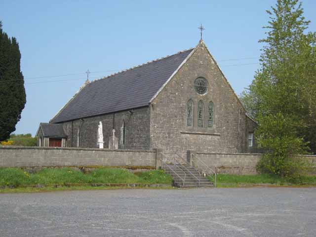 Saint Patrick's Catholic Churchchurch/chapel · 1395 yd
 Bricklieve Castle (in Ruins)Castle, unclassified · 1.2 mi
 Annaghgowla IslandIslet · 1.4 mi
 Bricklieve MountainsMountain / peak · 1.6 mi
 Treanscrabbagh caveCave · 1.7 mi
 InishmoreIslet · 1.9 mi
 Carricknahorna EastMountain / peak · 2.3 mi
 School CaveCave · 2.5 mi
Other information
Photo: Credit not shown in the picture search · Rights wording not checked; contact us if this picture should be removed