What is recorded here
Tipperary Lane is recorded as a walking route in County Down. Its open map record supplies this location and any linked names or public references.
- Operator
- Newry, Mourne and Down District Council
Places near here
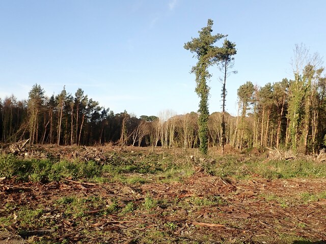 Tipperary WoodsForest · 266 yd
 CASTLE (destroyed) in Murlough UpperCASTLE (destroyed) · 1126 yd
 Newcastle Presbyterian ChurchChurch · 1160 yd
 Newcastle Tourist Information CentreVisitor information · 1192 yd
 Donard Car ParkVisitor information · 1193 yd
 Beach AvenueWalking route · 1195 yd
 Tower at former railway stationTower · 1310 yd
 DrinnahillyMountain / peak · 1405 yd
 WWII PILLBOXWWII PILLBOX, DHP no.3 · 1568 yd
 CurraghardMountain / peak · 1.1 mi
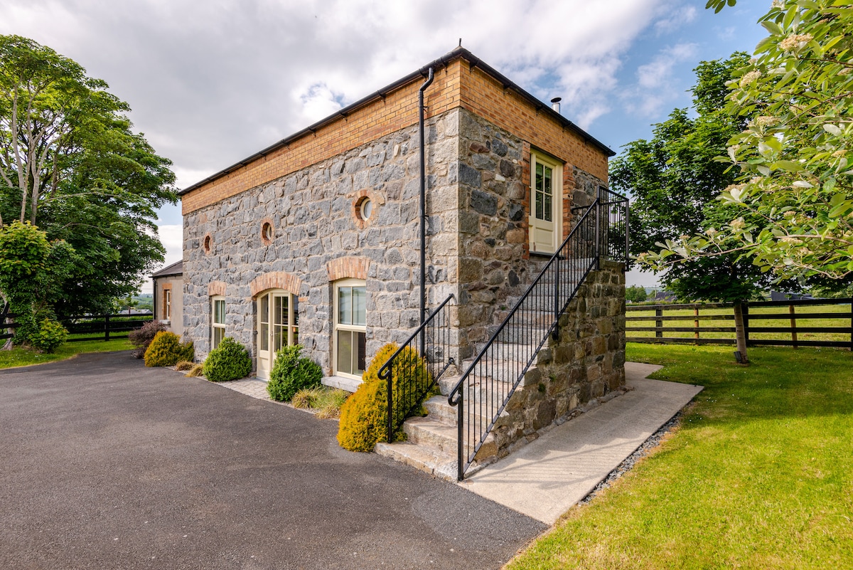 ENCLOSURE (destroyed) in CarnacavillENCLOSURE (destroyed) · 1.1 mi
 Tollymore Forest Park EntranceNature reserve · 1.1 mi