What is recorded here
Situated on the summit of a N-S ridge. When first described in 1969 (SMR file) the earthwork presented as a large ring-barrow consisting of a circular grass-covered area (diam. 38.5m NW-SE) separated by a fosse (Wth of top 6.5m-7.5m; Wth of base 2-2.5m; int. D 0.6-0.7m; ext. D 0.8-0.9m) from an outer earthen bank (Wth of base 3-5.8m; ext. H 0.5m at NW to 1.2m at SE).
The earthwork was damaged in 1988 and a subsequent excavation (E000510) in the years 1989-1993 revealed a complex of features including a possible Neolithic house, two hut-sites, two enclosures, a ritual burial and two timber circles. In the aftermath of the final 1993 season a circular building (diam. c. 9m) consisting of at least 5 rings of post-holes that were graded with the slightest at the centre came to light. The posts were closely set (c. 0.5-0.8m apart), but a wider passage from the S to the centre was kept open. The structure overlaps building A (ME011-040005-), a large hut-site (diam. 13m) with a double wall that is Late Bronze Age in date. (Newman 1993a)
Compiled by: Michael Moore
Date of upload: 10 April, 2019
The monument record does not grant public access. Check the route and ask the landowner before entering private land.
- What survives
- Recorded monument
Places near here
 Raffin FortArchaeological place · 19 yd
 Enclosure in RaffinEnclosure · 28 yd
 Headstown ForestForest · 1.1 mi
 Peters ChurchChurch · 1.1 mi
 HeadstownMountain / peak · 1.2 mi
 Castletown FortCastle, motte and bailey · 1.3 mi
 Drakerath CastleCastle, unclassified · 1.3 mi
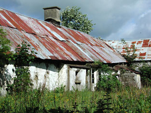 farm housefarm house · 1.5 mi
 Fox CovertWood · 1.7 mi
 Ugly HillMountain / peak · 2.2 mi
 Nobber GreenwayMemorial · 2.2 mi
 Owenroe and Moynalty DrainageMemorial · 2.3 mi