
What is recorded here
The 1837 OS 6 inch map shows the site of Baltray Corn mill. The 1937 OS 6-inch map marks the 'highest point to which medium tides flow' at a point along a millrace E of Kilcrea House. There was some stone collapse at this point. This is probably the site of the tidal mill marked on Rocque's map of County Dublin (1756). The N side of the millrace is stone-walled (Flanagan 1984, 108). There have been works undertaken as evidenced on Bing maps (accessed 8/11/13). Extensive dredging and/or drainage insertion as far as can be ascertained.
Compiled by: Geraldine Stout
Updated by: Christine Baker
Date of upload: 16 January 2015
The monument record does not grant public access. Check the route and ask the landowner before entering private land.
- What survives
- Recorded monument
Places near here
 Ring-ditch in KilcreaRing-ditch · 137 yd
 Earthwork in KilcreaEarthwork · 335 yd
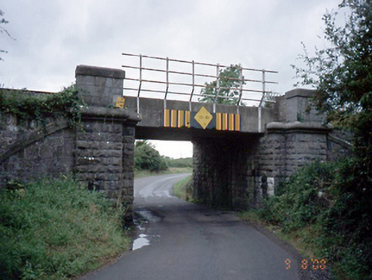 bridgebridge · 461 yd
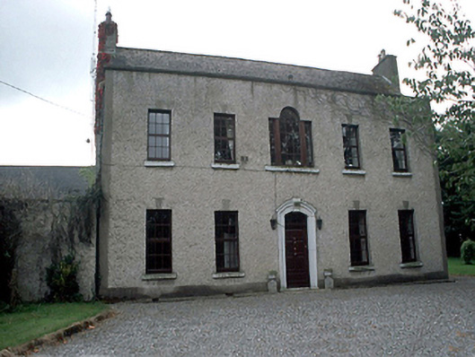 Kilcrea Housefarm house · 513 yd
 Church (in ruins), Graveyard (disused)Church · 596 yd
 Donabate Distributor RoadMemorial · 875 yd
 TowerCastle, tower house · 1466 yd
 Newbridge House and DemesneHeritage attraction · 1549 yd
 Tourist InformationVisitor information · 1687 yd
 Lanestown Castle in ruinsCastle, tower house · 1.0 mi
 Donabate BeachBeach / strand · 1.4 mi
 Welcome To MalahideVisitor information · 1.5 mi
Other information
Photo: Credit not shown in the picture search · Rights wording not checked; contact us if this picture should be removed