
What is recorded here
At the S end of Shamullen Channel on the foreshore at Carrowmore townland on the inner reaches of Galway Bay. Holt (1911-12, 251) recorded the site of a tidal mill here and noted that the millstones were said to be extant. Following Storm Eleanor in January 2018, a millstone (Wth 0.59-0.64m T 0.33-0.34m), which had been partially exposed prior to the storm, became more fully exposed revealing that over half of it survived. While broken in the past, enough remained to indicate that it was an upper stone fashioned from pink granite. Half of the central perforation (diam. 0.18m), which is straight sided and smooth, survives. The fragment indicates that the overall diameter of the stone was between c. 1.18m and 1.28m. A narrow rebate visible inside the lip of the perforation was designed to take the ‘bridge’, a device which positioned the drive-shaft and facilitated the rotation of the stone. On present evidence it is not possible to determine whether the mill was a horizontal or vertical mill (Gosling 2018). According to local information, another millstone fragment is lodged in a nearby field wall (information from P. Gosling 12 January 2018).
Compiled by: Olive Alcock
Date of upload: 31 July 2018
The monument record does not grant public access. Check the route and ask the landowner before entering private land.
- What survives
- Recorded monument
Places near here
 Enclosure in BallynacloghyEnclosure · 726 yd
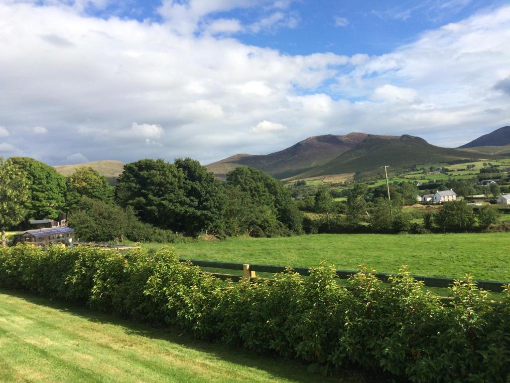 TobernasorneyHoly well · 733 yd
 Mweenish IslandIslet · 826 yd
 Mweenish PointHeadland · 1195 yd
 RoadRoad, road/trackway · 1524 yd
 Goose IslandIslet · 1693 yd
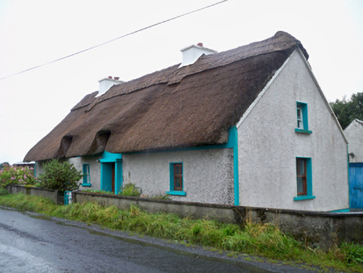 Seagalhouse · 1694 yd
 Ballynacourty Court (in ruins)Castle, hall-house · 1702 yd
 Plumbtree FortArchaeological place · 1.1 mi
 CastleCastle, unclassified · 1.7 mi
 Ardfry PointHeadland · 1.8 mi
 Uncleen WoodsWood · 4.2 mi
Other information
Photo: Credit not shown in the picture search · Rights wording not checked; contact us if this picture should be removed