What is recorded here
Marked as a well called 'Toberarananaig' on the 1840 ed. of the OS 6-inch map, and as 'Tobar a Rónánaig' on the 1927 ed. It is situated on relatively high ground at the head of a valley that opens out to the SW, and in the corner of a field. Rev. P. Power thought that it was not a holy well, but named after a local person called Roynane (OS Name Books). This is a small rectangular hollow (dims. 0.88m x 0.77m; D 0.8m) defined by stones that have been cemented, but there is no evidence of veneration.
Compiled by: Michael Moore
Date of upload: 27 September 2011
The monument record does not grant public access. Check the route and ask the landowner before entering private land.
- What survives
- Recorded monument
Places near here
 outbuildingoutbuilding · 536 yd
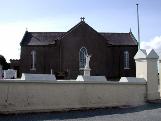 Catholic Church of the Sacred Heartchurch/chapel · 841 yd
 IndicatedFairy fort / ringfort · 1265 yd
 Grave YardGraveyard · 1367 yd
 Dromore WoodWood · 2.2 mi
 European ashEuropean ash · 3.4 mi
 Molana AbbeyHeritage attraction · 3.5 mi
 Kilnacarriga Castle (in ruins)Castle, unclassified · 3.7 mi
 Templemichael Castle (in ruins)Castle, tower house · 3.8 mi
 Clashmore Heritage CentreHeritage attraction · 3.8 mi
 Dromona HillMountain / peak · 4.0 mi
 St Bridget's WellSpring · 4.3 mi