What is recorded here
On an elevated terrace overlooking the N end of the beach that fringes the NE shoreline of Inishkea South. It is exposed in a shallow wind-eroded hollow, bordered by shoreline rock outcrop at NE and S and by machair at W and NW.
This prehistoric house is not shown on the 1838 OS 6-inch maps; it is marked as ‘Thurrows’ on the 1921 edition. The remains, which are poorly preserved and difficult to interpret, appear to consist of a large room with a possible annex or entrance portico at E.
A subcircular or subrectangular area (c. 9m E−W; c. 8m N−S) is outlined by exiguous remains of a ‘wall’, which has little structure, being little more than a gapped setting (Wth 1-1.2m) of low jumbled stones, some set on edge. At the E end of the subrectangular area is what appears to be a smaller subrectangular room or annex (4.5m N−S; 3.5m E−W), defined by a setting of large contiguous upright stones, with two close-set uprights remaining in situ on the N side and five uprights on the E side. Two of the uprights at the S end of the E side are set 0.56m apart and appear to serve as jamb stones of an entrance. Both stones taper to a narrow pointed apex, the N jamb measures H 0.92, Wth 0.33m, T 0.2m, and the S jamb H 0.83m S, Wth 0.4m, T 0.12m. The S jamb is set perpendicular to the line of the wall.
The SE side of the house coincides with a low scarp, overlying bedrock, which drops 0.7-1m to the level of the beach. A row of six contiguous upright stones (av. H 0.7m; Wth 0.4m) forms a revetment along the scarp.
The interior of the larger ‘room’ has a flat, sandy surface. A N-S row of 3-4 low stones extends S through the centre, possibly the remnant of an internal division. The interior is overspread with a scatter of loose stones, shells (mostly limpets and periwinkles) and small fragments of animal bone, and a layer of midden material (MA023-018002-) is visible in section on the eroding E edge of the house.
Two sherds of pottery, one decorated and one plain, a round scaper and four waste pieces of flint were found exposed on the surface here in the early 1990’s (NMI 1993: 28-34). The pottery was identified as almost certainly of Neolithic date (pers. comm. Raghnall O'Floinn, NMI, 1993, SMR file).
The house overlies a compacted brown soil layer or old ground surface (D 0.1-0.15m) which is exposed in parts where the covering sand layers have eroded, and in section for a length of 5-7m in the low scarp defining the E-SW side of the house. This layer appears to extend for c. 1-1.5m beyond the limits of the house to S and W, disappearing beneath surface sand.
Attached images:
MA023-018001-_01.JPG Location of house viewed from W
MA023-018001-_02.JPG Location of house viewed from N
MA023-018001-_03.JPG House viewed from S
MA023-018001-_04.JPG Possible entrance at E
MA023-018001-_05.JPG Possible entrance viewed from exterior
MA023-018001-_06.JPG Possible entrance viewed from interior
MA023-018001-_07.JPG Upright stones forming revetment on SE side
MA023-018001-_08.JPG Close-up of revetment
MA023-018001-_09.JPG Midden (MA023-018002-) eroding from SE-S side of house
MA023-018001-_10.JPG Underlying brown soil layer exposed in section at E-SE
MA023-018001-_11.JPG Ranging rod lies on old ground surface at S side of house
Compiled by: Jane O’Shaughnessy
Date of upload: 20 December 2022
The monument record does not grant public access. Check the route and ask the landowner before entering private land.
- What survives
- Recorded monument
Places near here
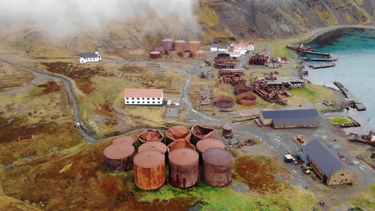 Rusheen Island Whaling StationRuins · 528 yd
 RoisínIslet · 577 yd
 Church (in Ruins)Church · 597 yd
 St. Derivlas WellHoly well · 1118 yd
 Enclosure in Inis Gé ThuaidhEnclosure · 1358 yd
 Inis Gé ThuaidhIsland · 1483 yd
 Site of Redmond Barretts CastleCastle, unclassified · 4.1 mi
 Termon BeachBeach / strand · 4.7 mi
 Trá OilíBeach / strand · 5.5 mi
 Barranagh Castle in RuinsCastle, unclassified · 6.6 mi
 Saddle HeadHeadland · 7.6 mi
 AskilgubroenacoraghHeadland · 7.7 mi