What is recorded here
In a shallow, wind-eroded sandy hollow c. 0.7-1m below the level of the flat expanse of machair which stretches to W. At E, ground slopes down very gradually towards a beach which fringes the shoreline. There is a stream 30m to SW.
Not shown on the 1838 OS 6-inch maps; marked as ‘Thurrows’ on the 1921 edition. The nature of this monument is very uncertain. The remains are exiguous and difficult to interpret; they may be the remnants of a house similar to the one (MA023-018001-) located 70m to NNE.
A tall upright slab (H 1.8m; Wth 0.37m NW-SE; T 0.24m), which tapers to a narrow top, is deeply embedded in the ground, with a low upright slab ( H 0.35m; Wth 0.36m; T 0.05m) 1.4m to NE. The latter has a jagged top suggesting that it was originally taller but was broken in the past. A large prostrate slab (L 0.84m; Wth 0.41; T 0.13m) 0.88m to ESE may originally have stood upright. Another low upright slab (L 0.4m E−W; T 0.1m; H 0.18m) is located c. 5m ESE of the tall upright. These earth-fast slabs are surrounded by a surface spread of loose medium-sized cobbles and stones with no obvious structure or pattern, probably scattered here by wave action.
Attached images:
MA023-019----_01.JPG Viewed from S
MA023-019----_02.JPG Viewed from N
MA023-019----_03.JPG Viewed from W
Compiled by: Jane O’Shaughnessy
Date of upload: 20 December 2022
The monument record does not grant public access. Check the route and ask the landowner before entering private land.
- What survives
- Recorded monument
Places near here
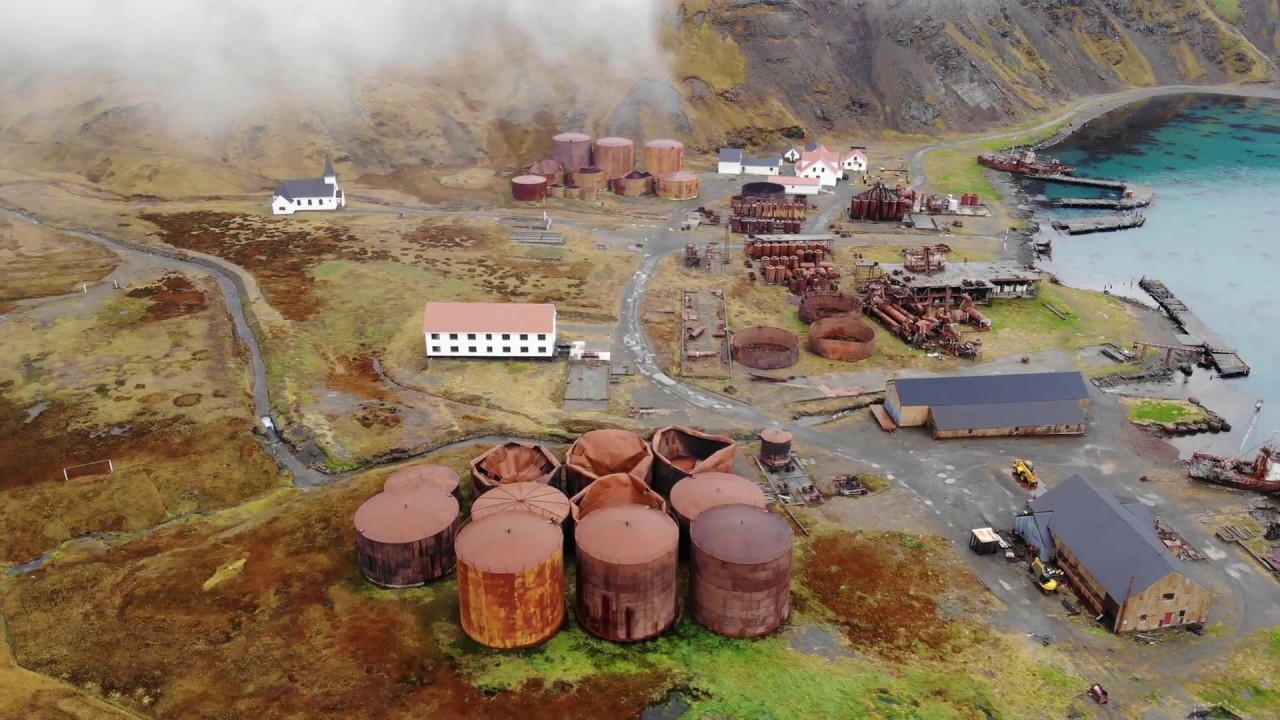 Rusheen Island Whaling StationRuins · 509 yd
 Church (in Ruins)Church · 521 yd
 RoisínIslet · 550 yd
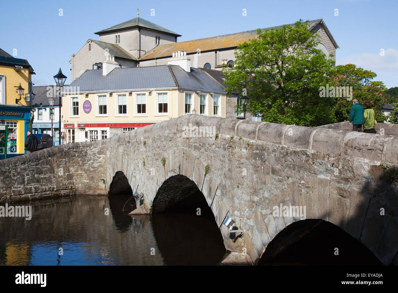 St. Derivlas WellHoly well · 1028 yd
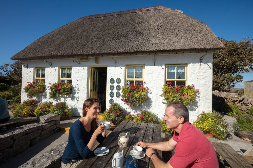 Enclosure in Inis Gé ThuaidhEnclosure · 1438 yd
 Inis Gé TheasIsland · 1521 yd
 Site of Redmond Barretts CastleCastle, unclassified · 4.2 mi
 Termon BeachBeach / strand · 4.7 mi
 Trá OilíBeach / strand · 5.5 mi
 Barranagh Castle in RuinsCastle, unclassified · 6.6 mi
 Saddle HeadHeadland · 7.5 mi
 AskilgubroenacoraghHeadland · 7.6 mi