Places near here
Photo credits
- Anna Watson, Wikimedia Commons
- JNC Premier Pitches, contractor and source; individual aerial photographer not stated, www.linkedin.com
- Chhe ( talk ), Wikimedia Commons · Public domain
- Andreas F. Borchert, Wikimedia Commons · CC BY-SA 4.0
- Maker named on the Wikimedia Commons picture page · CC BY-SA 3.0
- Wsiegmund, Wikimedia Commons · CC BY 2.5
- 瑞丽江的河水, Wikimedia Commons · CC BY-SA 4.0
- Colin Park, Geograph · CC BY-SA 2.0
- Jonathan Billinger, Wikimedia Commons · CC BY-SA 2.0
- National Inventory of Architectural Heritage
 Pollardstown Fen Nature ReserveNature reserve · 663 yd
Explorer Tom Pollardstown Fen is not the sort of place that shouts for attention. A boardwalk carries you above reeds and wet ground…
 Moorefield GAA ClubGAA ground · 1449 yd
Explorer Tom Moorefield’s Newbridge ground has a Kildare football calendar and a sideline that seems capable of coaching from both…
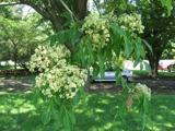 Bee-bee tree3.5 mi
Explorer Tom Bee-bee tree in County Kildare is a secret-keeper that only talks after three pints of rain. It’s got a story about…
 Grey Abbey (in Ruins)Religious house, Franciscan friars · 3.6 mi
Explorer Tom Grey Abbey is where the whole parish argued about whether the coffee was too strong or the sermon too long. The…
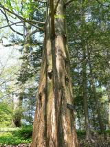 Dawn Redwood3.6 mi
Explorer Tom Dawn Redwood in County Kildare claims it's taller than the Leaning Tower of Pisa, which is laughable. It just needs a…
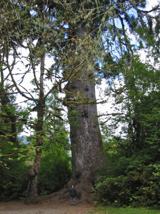 Sitka Spruce3.9 mi
Explorer Tom A Sitka Spruce in Kildare, which is like a penguin turning up at a barbecue. A cow once tried to buy it for fence…
 Rath Turtle MoatArchaeological place · 12 mi
Explorer Tom Rath Turtle Moat sits on a hilltop in Glen Ding Wood near Blessington, reached through a mix of deciduous and conifer…
 LobawnMountain / peak · 17 mi
Explorer Tom Lobawn in County Wicklow is playing hide-and-seek with me, hiding behind its own boring boundary stone which claims…
 SugarloafMountain / peak · 17 mi
Explorer Tom Tell someone you climbed Sugarloaf and they may picture the wrong Wicklow mountain entirely. This one stands west of…
 SlievereaghMountain / peak · 20 mi
Explorer Tom Slievereagh in County Wicklow has a long grudge against the weather because it keeps raining on its parade every single…
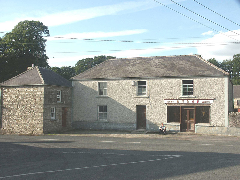 ByrneHouse · 22 mi
Explorer Tom Byrne in Rathdangan is stuck in a feud over who actually owns the view from that shopfront. It’s got some pebble-dash…
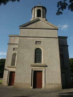 Saint Mary's Catholic ChurchChurch/chapel · 23 mi
Explorer Tom Saint Mary's Catholic Church in Killamoat Lower is dressed up in 1840s Classical style with Harry Clarke glass that…
More waterfalls, wells and springs in County Kildare · All of County Kildare

What do you know about this place?Tap to add a comment or ask a question