
Places near here
Photo credits
- Michael Spence, Wikimedia Commons · CC BY-SA 4.0
- Kenneth Allen, Geograph · CC BY-SA 2.0
- Tom Heaney / NW Press Pics, via Derry Now, www.derrynow.com
- Lorcan Doherty / Inpho, credited by The Irish Times, www.irishtimes.com
- Maker not stated on source page, www.pinterest.com
- Robert Ashby, Geograph · CC BY-SA 2.0
- Robert Ashby, Wikimedia Commons · CC BY-SA 2.0
Explorer Tom Barrow (O.S. memoir site, unlocated) in Templemoyle was the subject of a bad poem that rhymed 'mound' with 'found'.…
Cist burial? (O.S. memoir site, unlocated) in TemplemoyleCist burial? (O.S. memoir site, unlocated) · 684 ydExplorer Tom Cist burial? (O.S. memoir site, Unlocated) in Templemoyle has a least favourite visitor who was a tourist who asked if…
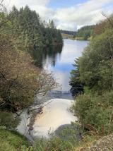 Banagher Glen - Forest TrailWalking route · 1.2 mi
Explorer Tom Banagher Glen - Forest Trail in County Derry was once taken over by a fox who thought he was the forest ranger, and…
 Stick HillMountain / peak · 1.4 mi
Explorer Tom Stick Hill in County Derry is locked in a bitter feud with the neighbouring peaks over who gets to claim the best…
 Barnes TopMountain / peak · 2.7 mi
Explorer Tom Barnes Top has a hidden message in its stones if you squint hard enough, but it's just rocks being rocks. I told my nan…
 Ballydonegan SweathouseVisitor information · 2.9 mi
Explorer Tom Ballydonegan Sweathouse in County Derry is where the seagulls go to complain about the salt content of the air. It’s a…
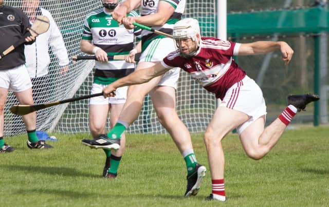 Fr. McNally Park, St. Mary's GAA, BanagherGAA ground · 3.1 miChildren's playground3.3 mi
Explorer Tom This Children's playground in County Derry acts exactly like that uncle at the wedding who brings a tambourine. It’s…
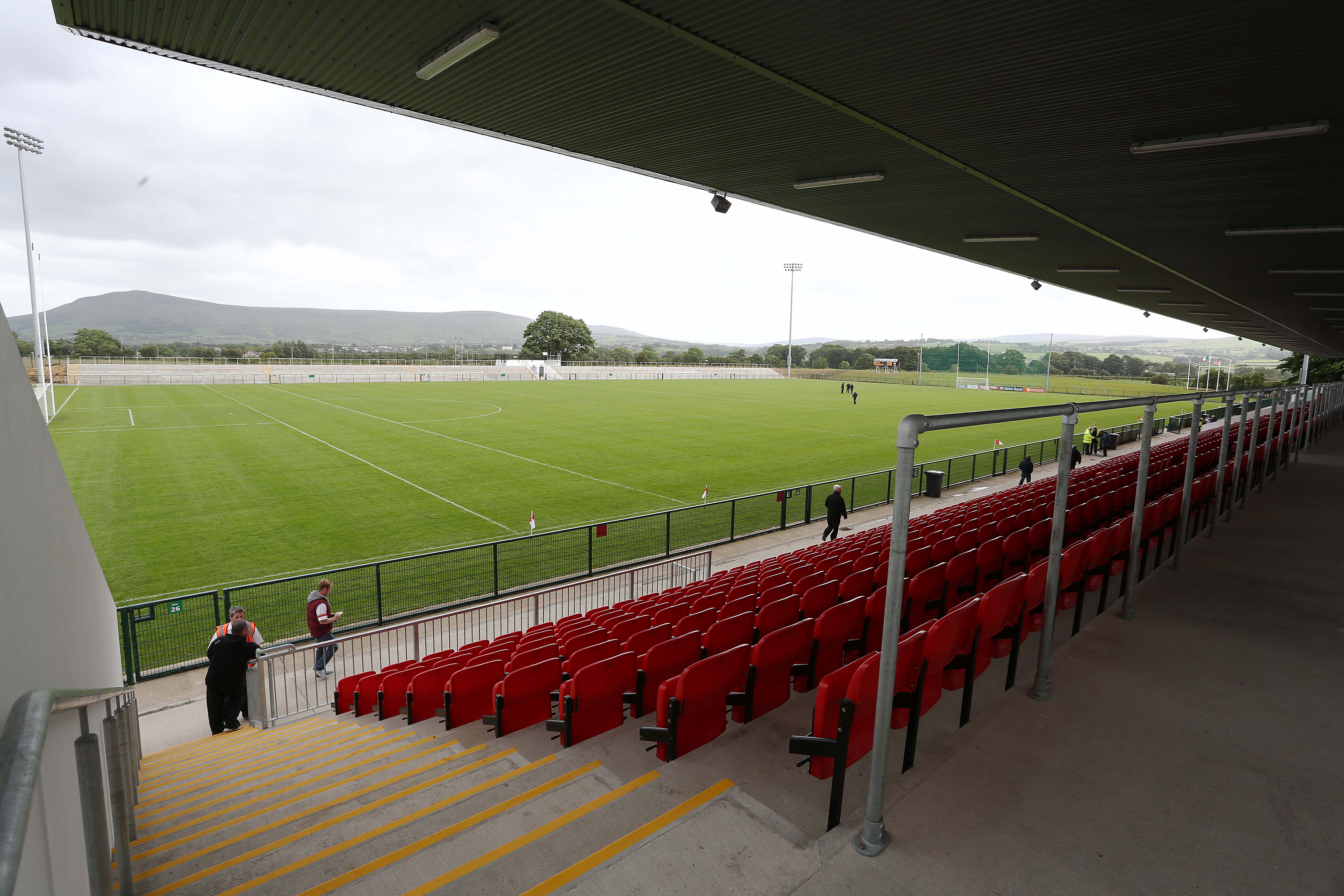 Owenbeg, Dungiven, Derry GAA Centre of ExcellenceGAA ground · 4.0 mi
 Multiperiod church & graveyard in BallinderryMultiperiod Church & Graveyard · 21 mi
Explorer Tom Multiperiod church & graveyard in Ballinderry in County Derry handles nosey neighbours by simply waiting for them to…
 Plantation Castle; Bawn; Village Site: Salterstown or Salter's Castle in BallymultreaPlantation Castle · 21 mi
Explorer Tom Salter’s Castle was named after a guy who probably overcharged for salt. The village site is where he likely argued…
 Salters Castle (Ruins)Ruins · 21 mi
Explorer Tom Salters Castle Ruins would win a county fair for 'Most Dramatic Decline' or 'Best Looking Mess.' It’s basically a pile…
More mountains and hills in County Derry · All of County Derry

What do you know about this place?Tap to add a comment or ask a question