What is recorded here
Scotland's National Record of the Historic Environment records Thornfield as Steamship (period Unassigned)-(1915). The official map says its point is accurate as follows: NGR given to the nearest 1m. The record does not by itself mean that the public may enter the place.
The *Thornfield* was a steamship built in 1915, likely active in Scottish coastal trade. It was lost without recorded lives or cargo, though its precise location and wreck remain significant for maritime archaeological study in Scotland.
The historic-place record does not grant public access. Check current conditions and ownership before entering land or a building.
Places near here
 Guns IslandIslet · 18 mi
 Ballyquintin Point Nature ReserveNature reserve · 18 mi
 LignatinnyBay · 18 mi
 Sheepland Harbour PathWalking route · 18 mi
 Ballyhornan Picnic SitePicnic place · 18 mi
 HOLY WELL: ST. PATRICK'S WELL in Sheepland BegHOLY WELL: ST. PATRICK'S WELL · 18 mi
 MEDIEVAL CHURCH RENLES in Killard UpperMEDIEVAL CHURCH RENLES · 18 mi
 Enclosure/Building in ArdtoleEnclosure/Building · 19 mi
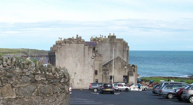 TOWER-HOUSE; MERCHANTS STORES; C18th CASTLE: HORN CASTLE or NEWARK or ARDGLASS CASTLE in ArdglassTOWER-HOUSE; MERCHANTS STORES; C18th CASTLE: HORN CASTLE or NEWARK or ARDGLASS CASTLE · 19 mi
 Mullog PointHeadland · 19 mi
 Cowd CastleArchaeological place · 19 mi
 CHURCH (in ruins) & GRAVEYARD: ARDTOLE CHURCH; ST.NICHOLAS' in ArdtoleCHURCH (in ruins) & GRAVEYARD: ARDTOLE CHURCH; ST.NICHOLAS' · 19 mi